Sal Rei night lights from space
Night Light of Sal Rei (Boa Vista) from space (Cape Verde) Src. Average luminocity for 10x10km area is 3.5227% and for 50x50km: 0.2127%.
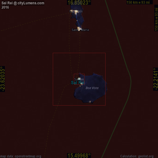
Analysis of Sal Rei night lights 2016
Square area 10x10 km:
 0%
0%90-99
0.83%80-89
0%70-79
0%60-69
0%50-59
1.65%40-49
1.65%30-39
1.24%20-29
1.24%10-19
0%0-9
93.39%Square area 50x50 km:
0%90-99
0.03%80-89
0%70-79
0%60-69
0%50-59
0.1%40-49
0.1%30-39
0.09%20-29
0.07%10-19
0.07%0-9
99.54%Clear (daylight) street map image can be seen on geolist.org.
Map coordinates:
16° 51' 0.8" North, 23° 37' 13.3" West
16° 10' 34" North, 22° 55' 2" West
15° 29' 58.8" North, 22° 12' 50.8" West
Some cities around Sal Rei sort by population:
• Santa Maria
46.9 km =29.1 mi,  1°
1°
• Santa Cruz
135.2 km =84 mi,  210°
210°
• Pedra Badejo
132.9 km =82.6 mi, 209°
• Tarrafal
133.9 km =83.2 mi,  221°
221°
• Espargos
64.5 km =40.1 mi,  357°
357°
• Calheta
131.7 km =81.8 mi, 213°
• Vila do Maio
119.6 km =74.3 mi,  195°
195°
• João Teves
142.8 km =88.7 mi, 210°
3374235 (p: 2,122)
Sources (retrieved 2019-11-25):
» Earth at Night: Flat Maps 2012, 2016