João Teves night lights from space
Night Light of João Teves (São Lourenço dos Órgãos) from space (Cape Verde) Src. Average luminocity for 10x10km area is 1.374% and for 50x50km: 2.7953%.
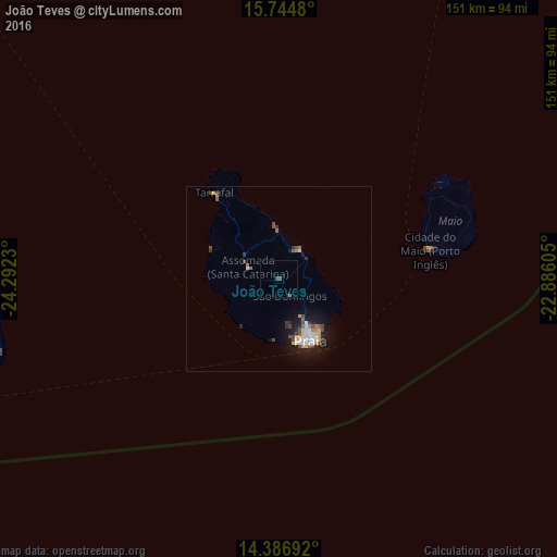
Analysis of João Teves night lights 2016
Square area 10x10 km:
 0%
0%90-99
0%80-89
0%70-79
0%60-69
0%50-59
0.83%40-49
1.65%30-39
0%20-29
0%10-19
0%0-9
97.52%Square area 50x50 km:
0.32%90-99
0.45%80-89
0.35%70-79
0.27%60-69
0.23%50-59
0.43%40-49
0.67%30-39
0.29%20-29
0.35%10-19
2.65%0-9
93.99%Clear (daylight) street map image can be seen on geolist.org.
Map coordinates:
15° 44' 41.3" North, 24° 17' 32.3" West
15° 4' 1" North, 23° 35' 21" West
14° 23' 12.9" North, 22° 53' 9.8" West
Some cities around João Teves sort by population:
• Praia
17.2 km =10.7 mi,  151°
151°
• Santa Cruz
7.8 km =4.8 mi,  18°
18°
• Pedra Badejo
10 km =6.2 mi,  38°
38°
• Assomada
10.8 km =6.7 mi,  289°
289°
• Calheta
13.3 km =8.3 mi,  358°
358°
• Picos
5 km =3.1 mi, 291°
• Cidade Velha
16.9 km =10.5 mi,  185°
185°
• São Domingos
5.5 km =3.4 mi, 148°
8441167 (p: 0)
Sources (retrieved 2019-11-25):
» Earth at Night: Flat Maps 2012, 2016