Santa Cruz night lights from space
Night Light of Santa Cruz from space (Cape Verde) Src. Average luminocity for 10x10km area is 3.6508% and for 50x50km: 2.3046%.
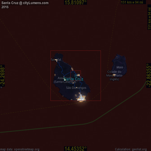
Analysis of Santa Cruz night lights 2016
Square area 10x10 km:
 0%
0%90-99
0%80-89
0.83%70-79
0%60-69
1.65%50-59
1.45%40-49
0.21%30-39
0.83%20-29
0%10-19
1.65%0-9
93.39%Square area 50x50 km:
0.26%90-99
0.44%80-89
0.27%70-79
0.22%60-69
0.23%50-59
0.38%40-49
0.6%30-39
0.29%20-29
0.26%10-19
1.58%0-9
95.45%Clear (daylight) street map image can be seen on geolist.org.
Map coordinates:
15° 48' 39.5" North, 24° 16' 11.3" West
15° 7' 60" North, 23° 34' 0" West
14° 27' 12.7" North, 22° 51' 48.8" West
Some cities around Santa Cruz sort by population:
• Praia
23.2 km =14.4 mi,  165°
165°
• Pedra Badejo
3.9 km =2.4 mi,  83°
83°
• Assomada
13.1 km =8.1 mi,  253°
253°
• Calheta
6.5 km =4 mi,  334°
334°
• Picos
9 km =5.6 mi,  231°
231°
• Cidade Velha
24.6 km =15.3 mi,  189°
189°
• São Domingos
12.1 km =7.5 mi,  177°
177°
• João Teves
7.8 km =4.8 mi,  198°
198°
3374221 (p: 9,488)
Sources (retrieved 2019-11-25):
» Earth at Night: Flat Maps 2012, 2016