Espargos night lights from space
Night Light of Espargos (Sal) from space (Cape Verde) Src. Average luminocity for 10x10km area is 12.632% and for 50x50km: 0.8876%.
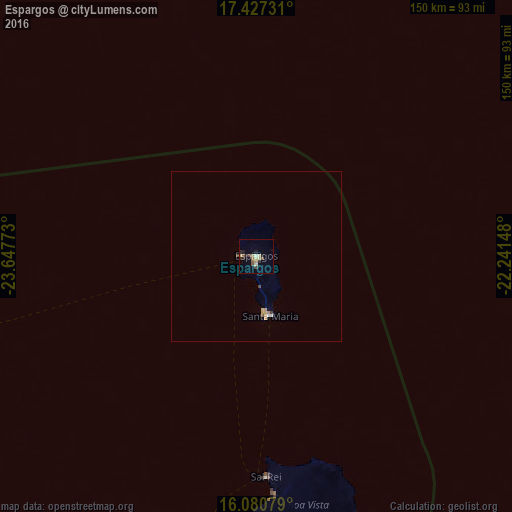
Analysis of Espargos night lights 2016
Square area 10x10 km:
 0%
0%90-99
1.3%80-89
4.76%70-79
0.87%60-69
0.87%50-59
1.52%40-49
2.6%30-39
1.95%20-29
3.68%10-19
2.6%0-9
79.87%Square area 50x50 km:
0.05%90-99
0.07%80-89
0.26%70-79
0.1%60-69
0.13%50-59
0.06%40-49
0.19%30-39
0.12%20-29
0.14%10-19
0.11%0-9
98.78%Clear (daylight) street map image can be seen on geolist.org.
Map coordinates:
17° 25' 38.3" North, 23° 38' 51.8" West
16° 45' 18.9" North, 22° 56' 40.6" West
16° 4' 50.8" North, 22° 14' 29.3" West
Some cities around Espargos sort by population:
• Santa Maria
18 km =11.2 mi,  166°
166°
• Pedra Badejo
190.5 km =118.4 mi,  199°
199°
• Tarrafal
185.5 km =115.3 mi,  207°
207°
• Calheta
187.7 km =116.6 mi, 201°
• Ribeira Brava
145 km =90.1 mi,  263°
263°
• Tarrafal de São Nicolau
152 km =94.4 mi, 262°
• Vila do Maio
182 km =113.1 mi,  189°
189°
• Sal Rei
64.5 km =40.1 mi,  177°
177°
8521418 (p: 6,173)
Sources (retrieved 2019-11-25):
» Earth at Night: Flat Maps 2012, 2016