Vila do Maio night lights from space
Night Light of Vila do Maio (Maio) from space (Cape Verde) Src. Average luminocity for 10x10km area is 2.6942% and for 50x50km: 0.12%.
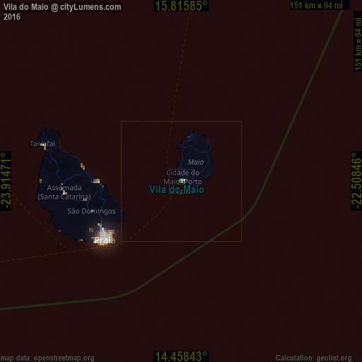
Analysis of Vila do Maio night lights 2016
Square area 10x10 km:
 0%
0%90-99
0%80-89
0%70-79
0.83%60-69
0%50-59
1.24%40-49
1.24%30-39
0%20-29
1.65%10-19
0.83%0-9
94.21%Square area 50x50 km:
0%90-99
0%80-89
0%70-79
0.03%60-69
0%50-59
0.05%40-49
0.05%30-39
0%20-29
0.07%10-19
0.03%0-9
99.77%Clear (daylight) street map image can be seen on geolist.org.
Map coordinates:
15° 48' 57.1" North, 23° 54' 53" West
15° 8' 17.6" North, 23° 12' 41.7" West
14° 27' 30.3" North, 22° 30' 30.5" West
Some cities around Vila do Maio sort by population:
• Praia
39.7 km =24.7 mi,  234°
234°
• Santa Cruz
38.1 km =23.7 mi,  269°
269°
• Pedra Badejo
34.3 km =21.3 mi, 269°
• Calheta
41.2 km =25.6 mi,  277°
277°
• Picos
45.6 km =28.3 mi,  262°
262°
• Cidade Velha
49 km =30.4 mi,  239°
239°
• São Domingos
39.7 km =24.7 mi,  251°
251°
• João Teves
41.3 km =25.7 mi, 258°
3374120 (p: 3,009)
Sources (retrieved 2019-11-25):
» Earth at Night: Flat Maps 2012, 2016