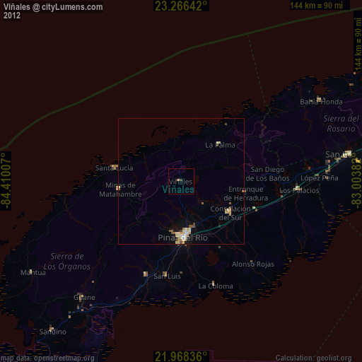
Viñales night lights from space
Night Light of Viñales (Pinar del Río) from space (Cuba) Src. Average luminocity for 10x10km area is 0.9792% and for 50x50km: 1.8462%.
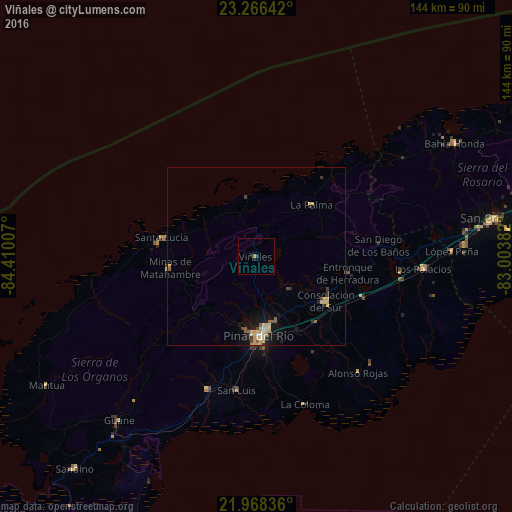
Analysis of Viñales night lights 2016
Square area 10x10 km:
 0%
0%90-99
0%80-89
0%70-79
0.76%60-69
0%50-59
0%40-49
0%30-39
0%20-29
0.76%10-19
1.52%0-9
96.97%Square area 50x50 km:
0.05%90-99
0.09%80-89
0.59%70-79
0.46%60-69
0.06%50-59
0.34%40-49
0.2%30-39
0.2%20-29
0.26%10-19
1.39%0-9
96.36%Clear (daylight) street map image can be seen on geolist.org.
Map coordinates:
23° 15' 59.1" North, 84° 24' 36.3" West
22° 37' 8.1" North, 83° 42' 25" West
21° 58' 6.1" North, 83° 0' 13.8" West
Some cities around Viñales sort by population:
• Pinar del Río
22.5 km =14 mi,  177°
177°
• Consolación del Sur
23.5 km =14.6 mi,  122°
122°
• San Cristobal
67.6 km =42 mi,  80°
80°
• Minas de Matahambre
24.7 km =15.3 mi,  261°
261°
• Los Palacios
47.4 km =29.5 mi,  94°
94°
• Bahía Honda
64.4 km =40 mi,  60°
60°
• Guane
60.5 km =37.6 mi,  219°
219°
• San Luis
38.2 km =23.7 mi,  188°
188°
3534094 (p: 27,129)
Sources (retrieved 2019-11-25):
» Earth at Night: Flat Maps 2012, 2016