Pinar del Río night lights from space
Night Light of Pinar del Río from space (Cuba) Src. Average luminocity for 10x10km area is 32.1004% and for 50x50km: 2.1462%.
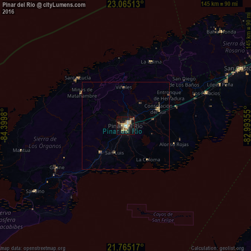
Analysis of Pinar del Río night lights 2016
Square area 10x10 km:
 1.33%
1.33%90-99
2.27%80-89
9.66%70-79
9.09%60-69
1.7%50-59
7.01%40-49
2.65%30-39
2.46%20-29
2.84%10-19
34.47%0-9
26.52%Square area 50x50 km:
0.06%90-99
0.1%80-89
0.62%70-79
0.5%60-69
0.09%50-59
0.4%40-49
0.25%30-39
0.25%20-29
0.37%10-19
1.66%0-9
95.71%Clear (daylight) street map image can be seen on geolist.org.
Map coordinates:
23° 3' 54.5" North, 84° 23' 59.3" West
22° 25' 0" North, 83° 41' 48" West
21° 45' 54.6" North, 82° 59' 36.8" West
Some cities around Pinar del Río sort by population:
• Consolación del Sur
21.1 km =13.1 mi,  62°
62°
• San Cristobal
73.7 km =45.8 mi, 63°
• Minas de Matahambre
31.8 km =19.8 mi,  306°
306°
• Viñales
22.5 km =14 mi,  357°
357°
• Los Palacios
50 km =31.1 mi,  67°
67°
• Guane
46.5 km =28.9 mi,  239°
239°
• Mantua
62.2 km =38.6 mi,  256°
256°
• San Luis
16.6 km =10.3 mi,  202°
202°
3544091 (p: 186,990)
Sources (retrieved 2019-11-25):
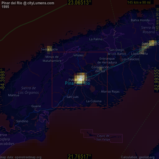
» NASA, Earths city lights 1995
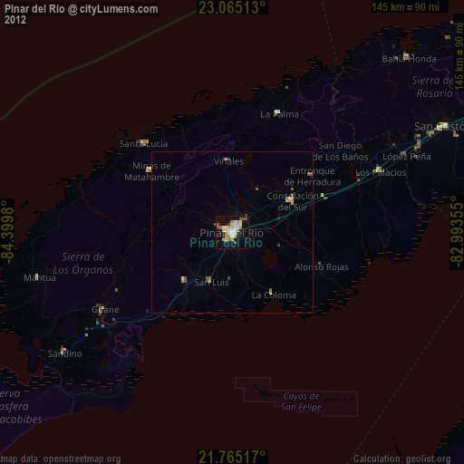
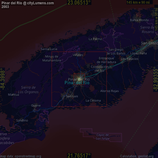
» NASA city lights 2003
» Earth at Night: Flat Maps 2012, 2016