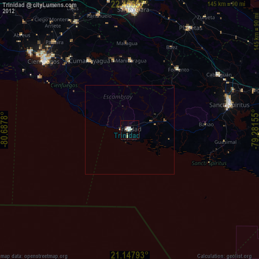
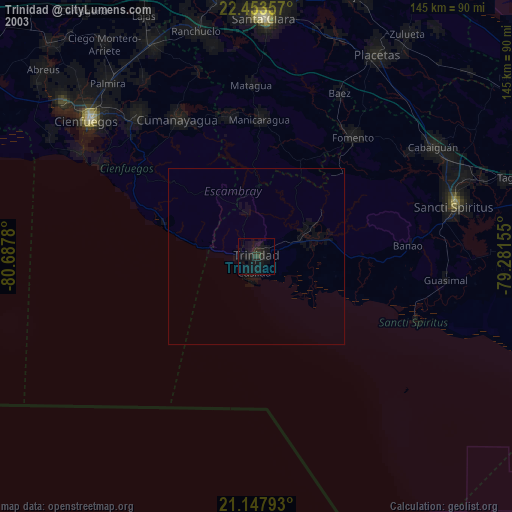
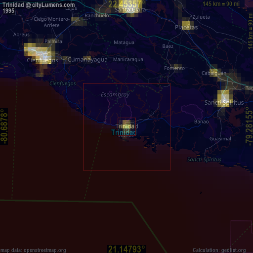
Trinidad night lights from space
Night Light of Trinidad (Sancti Spíritus) from space (Cuba) Src. Average luminocity for 10x10km area is 14.0933% and for 50x50km: 0.8621%.

Analysis of Trinidad night lights 2016
Square area 10x10 km:
 1.79%
1.79%90-99
2.18%80-89
5.16%70-79
0.4%60-69
0.79%50-59
0%40-49
1.59%30-39
1.98%20-29
0.79%10-19
0.6%0-9
84.72%Square area 50x50 km:
0.07%90-99
0.09%80-89
0.23%70-79
0.13%60-69
0.06%50-59
0.1%40-49
0.12%30-39
0.09%20-29
0.11%10-19
0.07%0-9
98.93%Clear (daylight) street map image can be seen on geolist.org.
Map coordinates:
22° 27' 12.9" North, 80° 41' 16.1" West
21° 48' 8.1" North, 79° 59' 4.8" West
21° 8' 52.5" North, 79° 16' 53.6" West
Some cities around Trinidad sort by population:
• Sancti Spíritus
57.7 km =35.9 mi,  75°
75°
• Cabaiguán
58.9 km =36.6 mi,  58°
58°
• Manicaragua
38.7 km =24 mi,  0°
0°
• Cumanayagua
45 km =28 mi,  329°
329°
• Condado
17.1 km =10.6 mi, 60°
• Fomento
43.2 km =26.8 mi,  38°
38°
• Guayos
60.6 km =37.7 mi, 63°
• Topes de Collantes
13.1 km =8.1 mi,  344°
344°
3534915 (p: 60,206)
Sources (retrieved 2019-11-25):
» NASA, Earths city lights 1995
» NASA city lights 2003
» Earth at Night: Flat Maps 2012, 2016