Sancti Spíritus night lights from space
Night Light of Sancti Spíritus from space (Cuba) Src. Average luminocity for 10x10km area is 34.3472% and for 50x50km: 3.5019%.
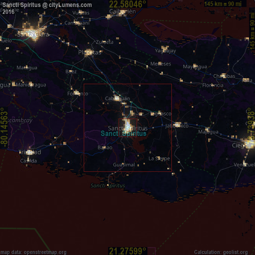

Analysis of Sancti Spíritus night lights 2016
Square area 10x10 km:
 3.77%
3.77%90-99
5.95%80-89
10.12%70-79
0.99%60-69
3.77%50-59
3.37%40-49
4.56%30-39
3.57%20-29
4.17%10-19
41.87%0-9
17.86%Square area 50x50 km:
0.15%90-99
0.33%80-89
0.79%70-79
0.32%60-69
0.38%50-59
0.6%40-49
0.53%30-39
0.6%20-29
0.64%10-19
2.75%0-9
92.92%Clear (daylight) street map image can be seen on geolist.org.
Map coordinates:
22° 34' 49.7" North, 80° 8' 44.3" West
21° 55' 47" North, 79° 26' 33" West
21° 16' 33.6" North, 78° 44' 21.8" West
Some cities around Sancti Spíritus sort by population:
• Placetas
47.8 km =29.7 mi,  332°
332°
• Cabaiguán
17.5 km =10.9 mi,  341°
341°
• Condado
41.4 km =25.7 mi,  261°
261°
• Fomento
34.7 km =21.6 mi,  304°
304°
• Jatibonico
28.2 km =17.5 mi,  86°
86°
• La Sierpe
25.1 km =15.6 mi,  134°
134°
• Guayos
13.5 km =8.4 mi,  351°
351°
• Zaza del Medio
10.8 km =6.7 mi,  46°
46°
3540667 (p: 127,069)
Sources (retrieved 2019-11-25):
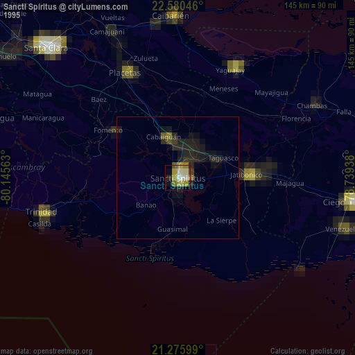
» NASA, Earths city lights 1995
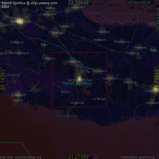
» NASA city lights 2003
» Earth at Night: Flat Maps 2012, 2016