Mantua night lights from space
Night Light of Mantua (Pinar del Río) from space (Cuba) Src. Average luminocity for 10x10km area is 0.9053% and for 50x50km: 0.3241%.
Analysis of Mantua night lights 2016
Square area 10x10 km:
 0%
0%90-99
0%80-89
0.76%70-79
0%60-69
0%50-59
0%40-49
0%30-39
0.76%20-29
0%10-19
0%0-9
98.48%Square area 50x50 km:
0%90-99
0%80-89
0.1%70-79
0.05%60-69
0.1%50-59
0.06%40-49
0.03%30-39
0.15%20-29
0.04%10-19
0%0-9
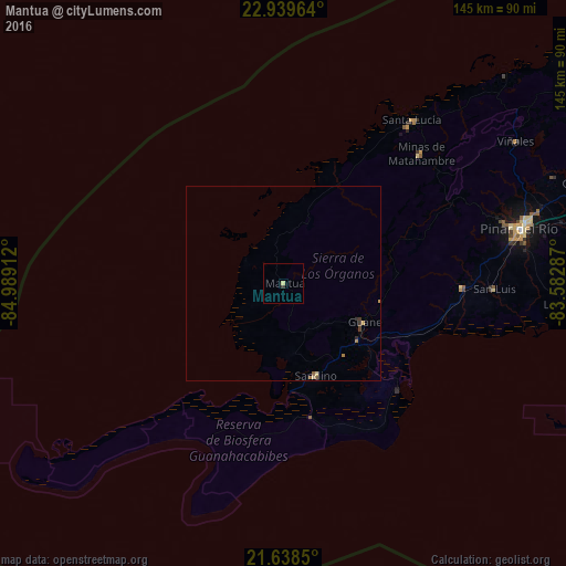
99.47%Clear (daylight) street map image can be seen on geolist.org.
Map coordinates:
22° 56' 22.7" North, 84° 59' 20.8" West
22° 17' 26.1" North, 84° 17' 9.6" West
21° 38' 18.6" North, 83° 34' 58.3" West
Some cities around Mantua sort by population:
• Pinar del Río
62.2 km =38.6 mi,  76°
76°
• Consolación del Sur
82.8 km =51.4 mi,  73°
73°
• Minas de Matahambre
48.1 km =29.9 mi,  46°
46°
• Viñales
69.8 km =43.4 mi,  58°
58°
• Los Palacios
111.8 km =69.5 mi, 72°
• Bahía Honda
134.2 km =83.4 mi, 59°
• Guane
22.9 km =14.2 mi,  115°
115°
• San Luis
54.2 km =33.7 mi,  91°
91°
3547930 (p: 10,797)
Sources (retrieved 2019-11-25):
» Earth at Night: Flat Maps 2012, 2016