Morón night lights from space
Night Light of Morón (Ciego de Ávila) from space (Cuba) Src. Average luminocity for 10x10km area is 21.2401% and for 50x50km: 2.4278%.
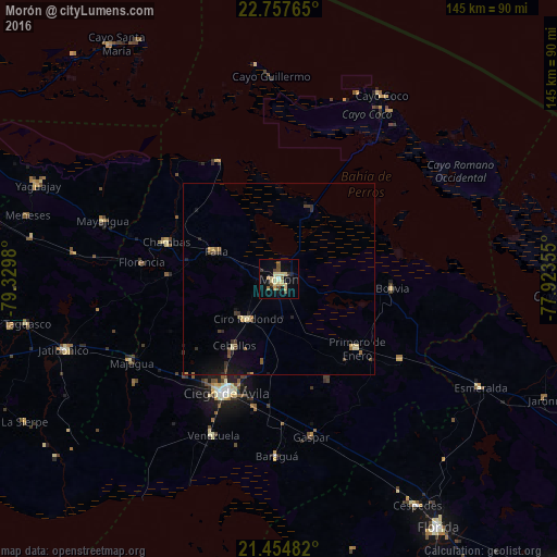
Analysis of Morón night lights 2016
Square area 10x10 km:
 0%
0%90-99
1.98%80-89
10.52%70-79
0.99%60-69
1.59%50-59
1.39%40-49
4.96%30-39
1.59%20-29
0.79%10-19
11.51%0-9
64.68%Square area 50x50 km:
0%90-99
0.12%80-89
0.77%70-79
0.22%60-69
0.21%50-59
0.29%40-49
0.52%30-39
0.43%20-29
0.34%10-19
1.36%0-9
95.74%Clear (daylight) street map image can be seen on geolist.org.
Map coordinates:
22° 45' 27.5" North, 79° 19' 47.3" West
22° 6' 27.9" North, 78° 37' 36" West
21° 27' 17.4" North, 77° 55' 24.8" West
Some cities around Morón sort by population:
• Ciego de Ávila
32.9 km =20.4 mi,  205°
205°
• Ciro Redondo
12.6 km =7.8 mi,  218°
218°
• Chambas
31 km =19.3 mi,  288°
288°
• Florencia
36 km =22.4 mi,  276°
276°
• Jatibonico
58.8 km =36.5 mi,  251°
251°
• Primero de Enero
27.1 km =16.8 mi,  131°
131°
• Venezuela
44.6 km =27.7 mi,  202°
202°
• Baraguá
47.3 km =29.4 mi,  179°
179°
3546434 (p: 66,060)
Sources (retrieved 2019-11-25):
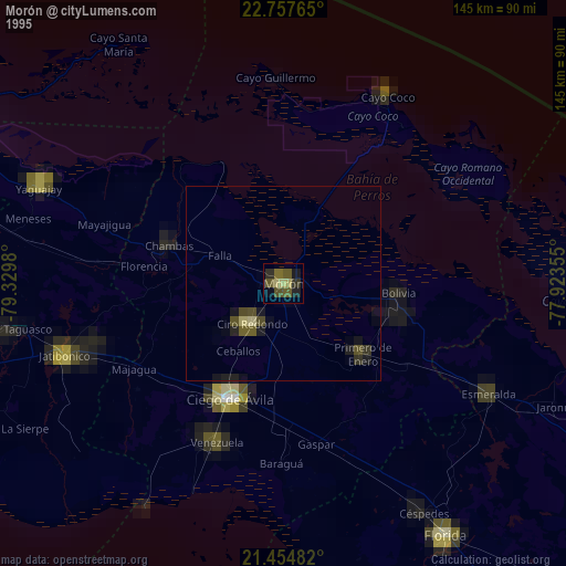
» NASA, Earths city lights 1995
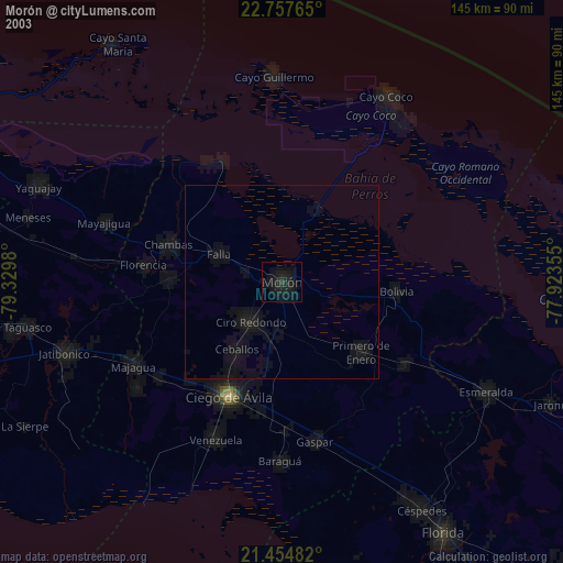
» NASA city lights 2003
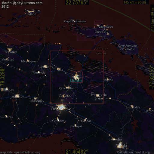
» Earth at Night: Flat Maps 2012, 2016