Ciro Redondo night lights from space
Night Light of Ciro Redondo (Ciego de Ávila) from space (Cuba) Src. Average luminocity for 10x10km area is 8.1429% and for 50x50km: 4.574%.
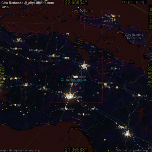
Analysis of Ciro Redondo night lights 2016
Square area 10x10 km:
 0%
0%90-99
0.2%80-89
3.77%70-79
1.59%60-69
0%50-59
1.19%40-49
0.6%30-39
0.99%20-29
0.99%10-19
0.99%0-9
89.68%Square area 50x50 km:
0.19%90-99
0.55%80-89
1.12%70-79
0.45%60-69
0.29%50-59
0.65%40-49
0.86%30-39
0.82%20-29
0.84%10-19
3.35%0-9
90.88%Clear (daylight) street map image can be seen on geolist.org.
Map coordinates:
22° 40' 10.3" North, 79° 24' 24.4" West
22° 1' 9.2" North, 78° 42' 13.1" West
21° 21' 57.2" North, 78° 0' 1.9" West
Some cities around Ciro Redondo sort by population:
• Ciego de Ávila
20.8 km =12.9 mi,  196°
196°
• Morón
12.6 km =7.8 mi,  38°
38°
• Chambas
29.1 km =18.1 mi,  312°
312°
• Florencia
31.2 km =19.4 mi,  296°
296°
• Jatibonico
48.7 km =30.3 mi,  260°
260°
• Primero de Enero
29.3 km =18.2 mi,  106°
106°
• Venezuela
32.7 km =20.3 mi, 196°
• Baraguá
38.3 km =23.8 mi,  167°
167°
3564084 (p: 29,560)
Sources (retrieved 2019-11-25):
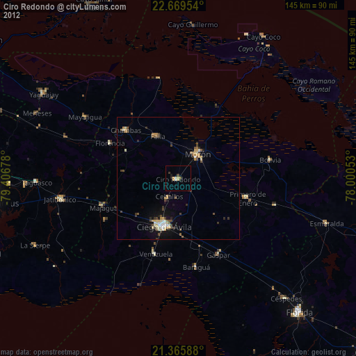
» Earth at Night: Flat Maps 2012, 2016