Ciego de Ávila night lights from space
Night Light of Ciego de Ávila from space (Cuba) Src. Average luminocity for 10x10km area is 42.3869% and for 50x50km: 3.9187%.
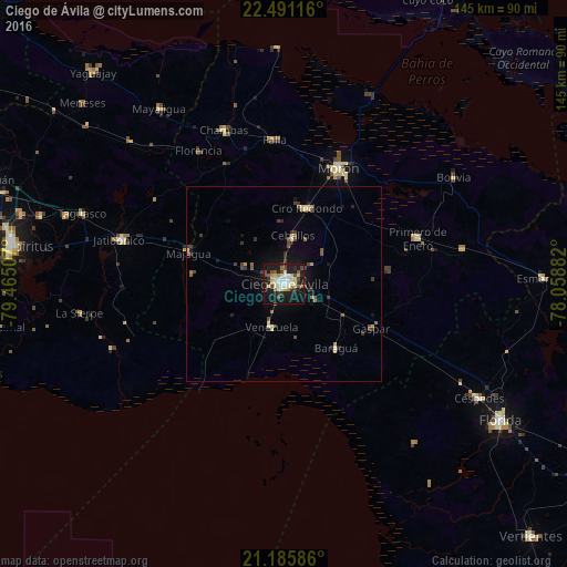
Analysis of Ciego de Ávila night lights 2016
Square area 10x10 km:
 4.56%
4.56%90-99
10.32%80-89
9.33%70-79
5.56%60-69
0.99%50-59
5.36%40-49
6.75%30-39
3.97%20-29
9.33%10-19
40.08%0-9
3.77%Square area 50x50 km:
0.21%90-99
0.52%80-89
0.68%70-79
0.44%60-69
0.2%50-59
0.68%40-49
0.68%30-39
0.79%20-29
0.82%10-19
3.11%0-9
91.86%Clear (daylight) street map image can be seen on geolist.org.
Map coordinates:
22° 29' 28.2" North, 79° 27' 54.3" West
21° 50' 24" North, 78° 45' 43" West
21° 11' 9.1" North, 78° 3' 31.8" West
Some cities around Ciego de Ávila sort by population:
• Morón
32.9 km =20.4 mi,  25°
25°
• Ciro Redondo
20.8 km =12.9 mi,  16°
16°
• Chambas
42.4 km =26.3 mi,  338°
338°
• Florencia
40.4 km =25.1 mi,  327°
327°
• Jatibonico
43.5 km =27 mi,  285°
285°
• Primero de Enero
36.1 km =22.4 mi,  71°
71°
• Venezuela
11.9 km =7.4 mi,  195°
195°
• Baraguá
22.5 km =14 mi,  141°
141°
3564178 (p: 142,027)
Sources (retrieved 2019-11-25):
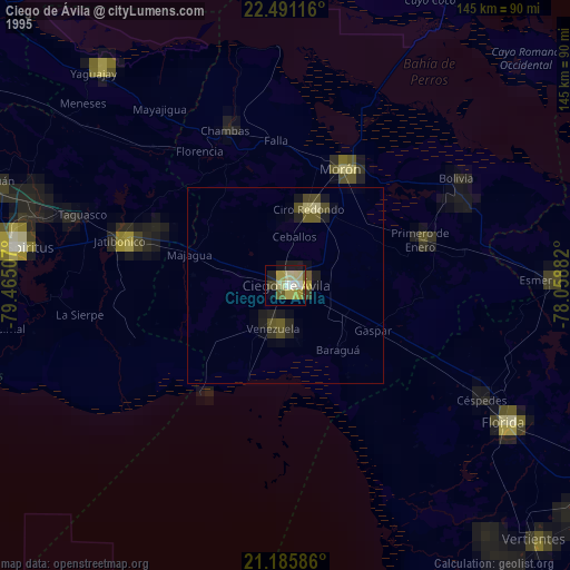
» NASA, Earths city lights 1995
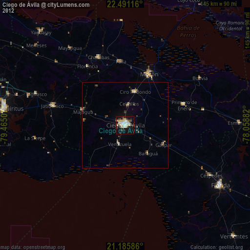
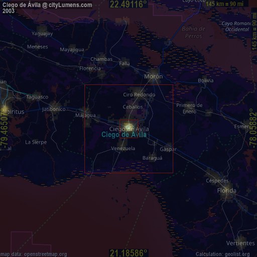
» NASA city lights 2003
» Earth at Night: Flat Maps 2012, 2016