Las Tunas night lights from space
Night Light of Las Tunas from space (Cuba) Src. Average luminocity for 10x10km area is 48.6667% and for 50x50km: 3.4601%.
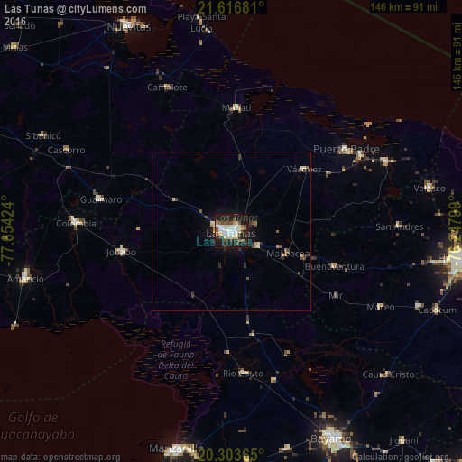
Analysis of Las Tunas night lights 2016
Square area 10x10 km:
 8.13%
8.13%90-99
16.27%80-89
6.35%70-79
2.58%60-69
3.37%50-59
3.97%40-49
8.13%30-39
3.57%20-29
15.28%10-19
30.75%0-9
1.59%Square area 50x50 km:
0.33%90-99
0.77%80-89
0.37%70-79
0.31%60-69
0.31%50-59
0.33%40-49
0.64%30-39
0.52%20-29
0.92%10-19
2.94%0-9
92.56%Clear (daylight) street map image can be seen on geolist.org.
Map coordinates:
21° 37' 0.5" North, 77° 39' 15.3" West
20° 57' 42" North, 76° 57' 4" West
20° 18' 13.1" North, 76° 14' 52.8" West
Some cities around Las Tunas sort by population:
• Puerto Padre
44.4 km =27.6 mi,  54°
54°
• Jesús Menéndez
53.8 km =33.4 mi,  65°
65°
• Jobabo
34.9 km =21.7 mi,  260°
260°
• Guáimaro
42.6 km =26.5 mi,  283°
283°
• Río Cauto
44.8 km =27.8 mi,  175°
175°
• Colombia
49.4 km =30.7 mi,  273°
273°
• Sibanicú
67 km =41.6 mi,  297°
297°
• Manatí
38.8 km =24.1 mi,  2°
2°
3550598 (p: 203,684)
Sources (retrieved 2019-11-25):
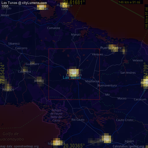
» NASA, Earths city lights 1995
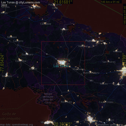
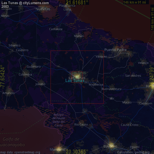
» NASA city lights 2003
» Earth at Night: Flat Maps 2012, 2016