Guáimaro night lights from space
Night Light of Guáimaro (Camagüey) from space (Cuba) Src. Average luminocity for 10x10km area is 5.9762% and for 50x50km: 1.7027%.
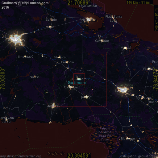
Analysis of Guáimaro night lights 2016
Square area 10x10 km:
 0%
0%90-99
1.59%80-89
2.38%70-79
0%60-69
0%50-59
0%40-49
1.19%30-39
1.98%20-29
0%10-19
0%0-9
92.86%Square area 50x50 km:
0.05%90-99
0.4%80-89
0.37%70-79
0.09%60-69
0.12%50-59
0.21%40-49
0.51%30-39
0.22%20-29
0.19%10-19
0.14%0-9
97.71%Clear (daylight) street map image can be seen on geolist.org.
Map coordinates:
21° 42' 25.1" North, 78° 3' 10.9" West
21° 3' 8" North, 77° 20' 59.6" West
20° 23' 40.5" North, 76° 38' 48.4" West
Some cities around Guáimaro sort by population:
• Las Tunas
42.6 km =26.5 mi,  103°
103°
• Jobabo
17.6 km =10.9 mi,  156°
156°
• Amancio
35.2 km =21.9 mi,  222°
222°
• Jimaguayú
53.7 km =33.4 mi,  293°
293°
• Minas
55.5 km =34.5 mi,  330°
330°
• Colombia
10.6 km =6.6 mi,  227°
227°
• Sibanicú
27.4 km =17 mi,  318°
318°
• Manatí
51.8 km =32.2 mi,  56°
56°
3557923 (p: 39,358)
Sources (retrieved 2019-11-25):
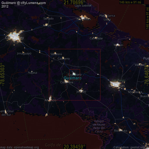
» Earth at Night: Flat Maps 2012, 2016