Colombia night lights from space
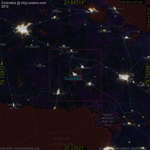
Night Light of Colombia (Las Tunas) from space (Cuba) Src. Average luminocity for 10x10km area is 10.7381% and for 50x50km: 1.9548%.
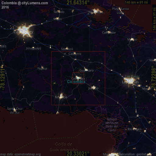
Analysis of Colombia night lights 2016
Square area 10x10 km:
 0.2%
0.2%90-99
3.37%80-89
1.59%70-79
1.19%60-69
0.99%50-59
0.79%40-49
2.58%30-39
1.19%20-29
0%10-19
1.59%0-9
86.51%Square area 50x50 km:
0.07%90-99
0.48%80-89
0.36%70-79
0.1%60-69
0.09%50-59
0.21%40-49
0.59%30-39
0.31%20-29
0.27%10-19
0.19%0-9
97.34%Clear (daylight) street map image can be seen on geolist.org.
Map coordinates:
21° 38' 35.3" North, 78° 7' 44.8" West
20° 59' 17.2" North, 77° 25' 33.5" West
20° 19' 48.8" North, 76° 43' 22.3" West
Some cities around Colombia sort by population:
• Las Tunas
49.4 km =30.7 mi,  93°
93°
• Jobabo
17.4 km =10.8 mi,  120°
120°
• Amancio
24.6 km =15.3 mi,  220°
220°
• Guáimaro
10.6 km =6.6 mi,  47°
47°
• Jimaguayú
50.2 km =31.2 mi,  304°
304°
• Minas
58.8 km =36.5 mi,  341°
341°
• Sibanicú
29.5 km =18.3 mi, 339°
• Manatí
62.4 km =38.8 mi, 54°
3563856 (p: 20,096)
Sources (retrieved 2019-11-25):
» Earth at Night: Flat Maps 2012, 2016