Jaruco night lights from space
Night Light of Jaruco (Mayabeque) from space (Cuba) Src. Average luminocity for 10x10km area is 5.1151% and for 50x50km: 9.2524%.
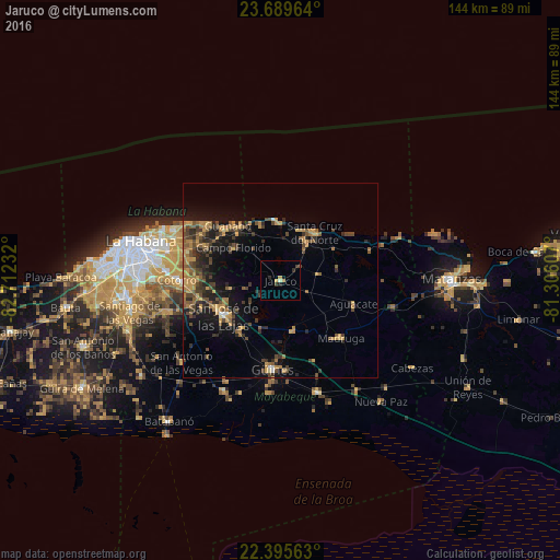
Analysis of Jaruco night lights 2016
Square area 10x10 km:
 0%
0%90-99
0.6%80-89
0.2%70-79
1.98%60-69
0.4%50-59
0%40-49
0.79%30-39
2.18%20-29
1.98%10-19
0.99%0-9
90.87%Square area 50x50 km:
0.09%90-99
0.21%80-89
0.52%70-79
2.57%60-69
1.9%50-59
1.63%40-49
2.37%30-39
2.22%20-29
2.81%10-19
5.86%0-9
79.81%Clear (daylight) street map image can be seen on geolist.org.
Map coordinates:
23° 41' 22.7" North, 82° 42' 44.4" West
23° 2' 39.1" North, 82° 0' 33.1" West
22° 23' 44.3" North, 81° 18' 21.9" West
Some cities around Jaruco sort by population:
• San Miguel del Padrón
29.3 km =18.2 mi,  274°
274°
• Alamar
30.3 km =18.8 mi,  294°
294°
• Güines
23.1 km =14.4 mi,  184°
184°
• San José de las Lajas
17.2 km =10.7 mi,  237°
237°
• Madruga
21.6 km =13.4 mi,  133°
133°
• Santa Cruz del Norte
14.9 km =9.3 mi,  34°
34°
• Jamaica
18 km =11.2 mi, 244°
• San Nicolás de Bari
30.5 km =19 mi,  161°
161°
3556351 (p: 20,207)
Sources (retrieved 2019-11-25):
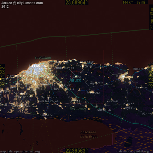
» Earth at Night: Flat Maps 2012, 2016