San Miguel del Padrón night lights from space
Night Light of San Miguel del Padrón (Havana) from space (Cuba) Src. Average luminocity for 10x10km area is 78.0655% and for 50x50km: 28.8214%.
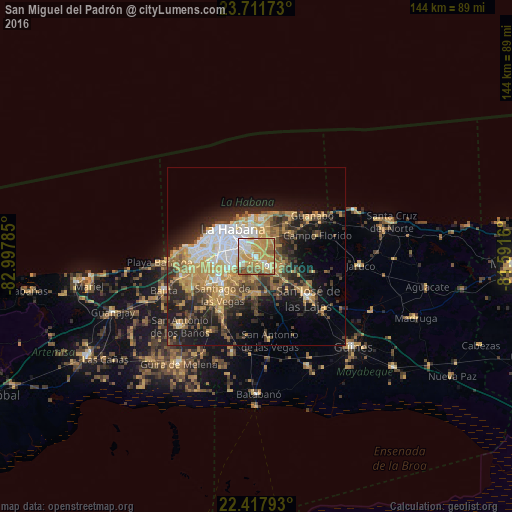
Analysis of San Miguel del Padrón night lights 2016
Square area 10x10 km:
 10.32%
90-99
15.08%80-89
10.91%70-79
39.68%60-69
11.9%50-59
9.72%40-49
2.38%30-39
0%20-29
0%10-19
0%0-9
0%Square area 50x50 km:
3.72%90-99
3.84%80-89
3.06%70-79
8.59%60-69
3.84%50-59
3.5%40-49
4.28%30-39
4.7%20-29
7.22%10-19
12.99%0-9
44.25%Clear (daylight) street map image can be seen on geolist.org.
Map coordinates:
23° 42' 42.2" North, 82° 59' 52.3" West
23° 3' 59" North, 82° 17' 41" West
22° 25' 4.5" North, 81° 35' 29.8" West
Some cities around San Miguel del Padrón sort by population:
• Diez de Octubre
7.1 km =4.4 mi,  289°
289°
• Arroyo Naranjo
8.3 km =5.2 mi,  246°
246°
• Centro Habana
10.7 km =6.6 mi,  318°
318°
• Cerro
9.7 km =6 mi,  298°
298°
• Guanabacoa
6.4 km =4 mi,  354°
354°
• Alamar
10.3 km =6.4 mi,  9°
9°
• La Habana Vieja
9.3 km =5.8 mi, 319°
• Regla
7.5 km =4.7 mi,  329°
329°
3538803 (p: 159,273)
Sources (retrieved 2019-11-25):
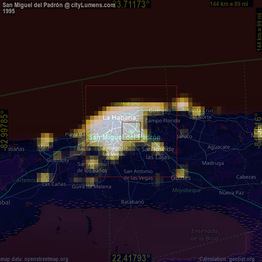
» NASA, Earths city lights 1995
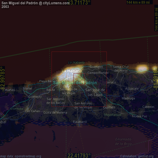
» NASA city lights 2003
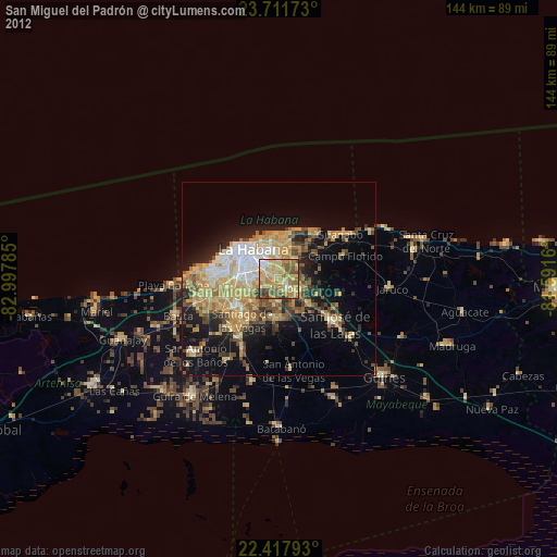
» Earth at Night: Flat Maps 2012, 2016