Camagüey night lights from space
Night Light of Camagüey from space (Cuba) Src. Average luminocity for 10x10km area is 72.3258% and for 50x50km: 5.5916%.
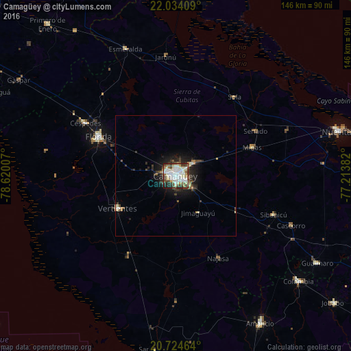
Analysis of Camagüey night lights 2016
Square area 10x10 km:
 16.1%
16.1%90-99
31.63%80-89
8.14%70-79
3.98%60-69
4.55%50-59
5.49%40-49
11.74%30-39
7.01%20-29
9.28%10-19
2.08%0-9
0%Square area 50x50 km:
0.7%90-99
1.52%80-89
0.49%70-79
0.38%60-69
0.45%50-59
0.56%40-49
1.07%30-39
0.91%20-29
1.82%10-19
3.62%0-9
88.49%Clear (daylight) street map image can be seen on geolist.org.
Map coordinates:
22° 2' 2.7" North, 78° 37' 12.3" West
21° 22' 51" North, 77° 55' 1" West
20° 43' 28.7" North, 77° 12' 49.8" West
Some cities around Camagüey sort by population:
• Florida
35.8 km =22.2 mi,  296°
296°
• Guáimaro
69.2 km =43 mi,  121°
121°
• Vertientes
27.7 km =17.2 mi,  240°
240°
• Jimaguayú
18 km =11.2 mi,  148°
148°
• Minas
33.9 km =21.1 mi,  69°
69°
• Esmeralda
56.3 km =35 mi,  338°
338°
• Colombia
67.1 km =41.7 mi,  130°
130°
• Sibanicú
43.6 km =27.1 mi,  111°
111°
3566067 (p: 347,562)
Sources (retrieved 2019-11-25):
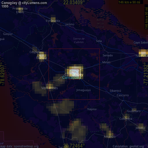
» NASA, Earths city lights 1995
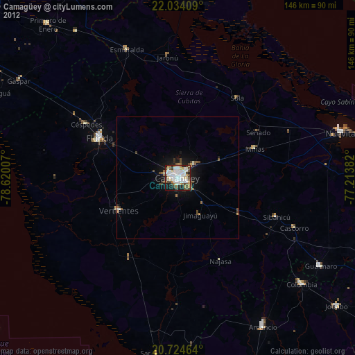
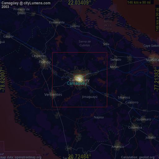
» NASA city lights 2003
» Earth at Night: Flat Maps 2012, 2016