Vertientes night lights from space
Night Light of Vertientes (Camagüey) from space (Cuba) Src. Average luminocity for 10x10km area is 9.746% and for 50x50km: 3.1361%.
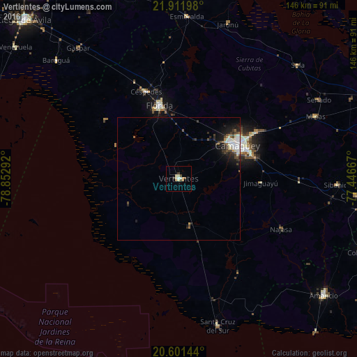
Analysis of Vertientes night lights 2016
Square area 10x10 km:
 0.6%
0.6%90-99
1.98%80-89
2.18%70-79
0.79%60-69
1.59%50-59
0.79%40-49
1.98%30-39
1.19%20-29
0.4%10-19
0%0-9
88.49%Square area 50x50 km:
0.43%90-99
0.76%80-89
0.28%70-79
0.14%60-69
0.26%50-59
0.27%40-49
0.7%30-39
0.55%20-29
0.95%10-19
1.9%0-9
93.75%Clear (daylight) street map image can be seen on geolist.org.
Map coordinates:
21° 54' 43.1" North, 78° 51' 10.5" West
21° 15' 29.4" North, 78° 8' 59.2" West
20° 36' 5.2" North, 77° 26' 48" West
Some cities around Vertientes sort by population:
• Camagüey
27.7 km =17.2 mi,  60°
60°
• Florida
30.7 km =19.1 mi,  345°
345°
• Santa Cruz del Sur
62.3 km =38.7 mi,  165°
165°
• Jimaguayú
33.6 km =20.9 mi,  93°
93°
• Minas
61.4 km =38.2 mi,  65°
65°
• Esmeralda
66 km =41 mi,  2°
2°
• Sibanicú
64.7 km =40.2 mi, 92°
• Baraguá
68.2 km =42.4 mi,  313°
313°
3534363 (p: 29,704)
Sources (retrieved 2019-11-25):
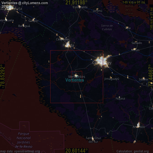
» Earth at Night: Flat Maps 2012, 2016