Florida night lights from space
Night Light of Florida (Camagüey) from space (Cuba) Src. Average luminocity for 10x10km area is 24.5379% and for 50x50km: 2.0336%.
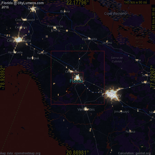
Analysis of Florida night lights 2016
Square area 10x10 km:
 2.27%
2.27%90-99
6.25%80-89
4.36%70-79
0.76%60-69
3.79%50-59
1.33%40-49
2.84%30-39
1.33%20-29
3.41%10-19
29.36%0-9
44.32%Square area 50x50 km:
0.1%90-99
0.34%80-89
0.26%70-79
0.16%60-69
0.29%50-59
0.17%40-49
0.34%30-39
0.36%20-29
0.38%10-19
1.74%0-9
95.87%Clear (daylight) street map image can be seen on geolist.org.
Map coordinates:
22° 10' 40.7" North, 78° 55' 44.1" West
21° 31' 31.3" North, 78° 13' 32.8" West
20° 52' 11.3" North, 77° 31' 21.6" West
Some cities around Florida sort by population:
• Camagüey
35.8 km =22.2 mi,  116°
116°
• Vertientes
30.7 km =19.1 mi,  165°
165°
• Jimaguayú
52 km =32.3 mi,  127°
127°
• Minas
63.8 km =39.6 mi,  93°
93°
• Esmeralda
37.9 km =23.5 mi,  17°
17°
• Primero de Enero
51.3 km =31.9 mi,  335°
335°
• Venezuela
63.2 km =39.3 mi,  291°
291°
• Baraguá
44.9 km =27.9 mi, 292°
3558771 (p: 63,007)
Sources (retrieved 2019-11-25):
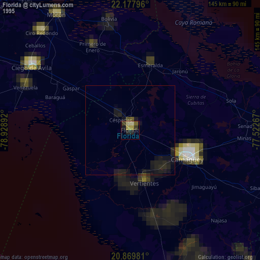
» NASA, Earths city lights 1995
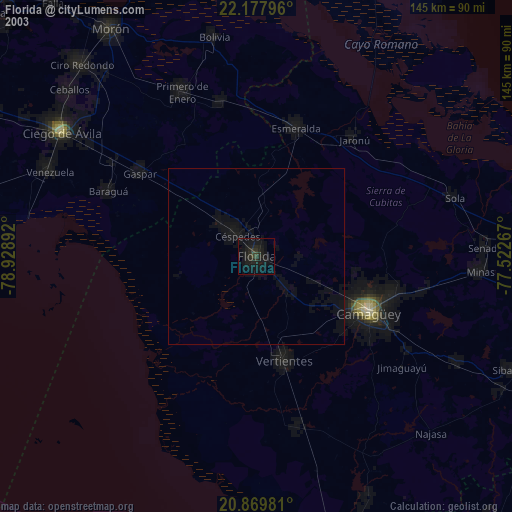
» NASA city lights 2003
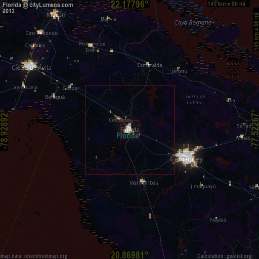
» Earth at Night: Flat Maps 2012, 2016