Golfito night lights from space
Night Light of Golfito (Puntarenas) from space (Costa Rica) Src. Average luminocity for 10x10km area is 3.345% and for 50x50km: 1.5772%.
Analysis of Golfito night lights 2016
Square area 10x10 km:
 0%
0%90-99
0%80-89
0%70-79
0%60-69
0%50-59
1.65%40-49
2.07%30-39
1.24%20-29
0.83%10-19
0%0-9
94.21%Square area 50x50 km:
0%90-99
0.16%80-89
0.35%70-79
0.1%60-69
0.29%50-59
0.16%40-49
0.42%30-39
0.57%20-29
0.45%10-19
0.21%0-9
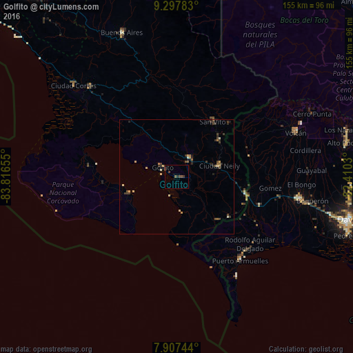
97.28%Clear (daylight) street map image can be seen on geolist.org.
Map coordinates:
9° 17' 52.2" North, 83° 48' 59.6" West
8° 36' 11.8" North, 83° 6' 48.3" West
7° 54' 26.8" North, 82° 24' 37.1" West
Some cities around Golfito sort by population:
• David, PA
77.6 km =48.2 mi,  104°
104°
• La Concepción, PA
55.3 km =34.4 mi, 100°
• Puerto Armuelles, PA
45.5 km =28.3 mi,  142°
142°
• Buenos Aires
67.7 km =42.1 mi,  339°
339°
• Volcán, PA
55.5 km =34.5 mi,  70°
70°
• Corredor
18.9 km =11.7 mi,  77°
77°
• Boquete, PA
76.4 km =47.5 mi, 75°
• San Pablo Viejo Abajo, PA
69.3 km =43.1 mi, 103°
3623656 (p: 6,777)
Sources (retrieved 2019-11-25):
» Earth at Night: Flat Maps 2012, 2016