David night lights from space
Night Light of David (Chiriquí) from space (Panama) Src. Average luminocity for 10x10km area is 54.3616% and for 50x50km: 5.052%.
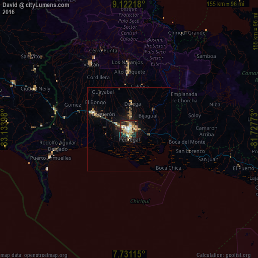
Analysis of David night lights 2016
Square area 10x10 km:
 6.61%
6.61%90-99
9.09%80-89
9.71%70-79
12.19%60-69
8.26%50-59
11.57%40-49
2.48%30-39
7.02%20-29
15.5%10-19
17.56%0-9
0%Square area 50x50 km:
0.27%90-99
0.65%80-89
0.62%70-79
0.82%60-69
0.69%50-59
0.92%40-49
0.68%30-39
0.88%20-29
1.3%10-19
3.68%0-9
89.48%Clear (daylight) street map image can be seen on geolist.org.
Map coordinates:
9° 7' 19.8" North, 83° 8' 2.3" West
8° 25' 38.2" North, 82° 25' 51.1" West
7° 43' 52.1" North, 81° 43' 39.8" West
Some cities around David sort by population:
• La Concepción
22.7 km =14.1 mi,  294°
294°
• Pedregal
6.8 km =4.2 mi,  184°
184°
• Puerto Armuelles
50.3 km =31.3 mi,  250°
250°
• Las Lomas
4.8 km =3 mi,  87°
87°
• Volcán
44.7 km =27.8 mi,  329°
329°
• Corredor, CR
61.4 km =38.2 mi, 292°
• Boquete
39.3 km =24.4 mi,  358°
358°
• San Pablo Viejo Abajo
8.3 km =5.2 mi, 290°
3711668 (p: 81,957)
Sources (retrieved 2019-11-25):
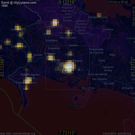
» NASA, Earths city lights 1995
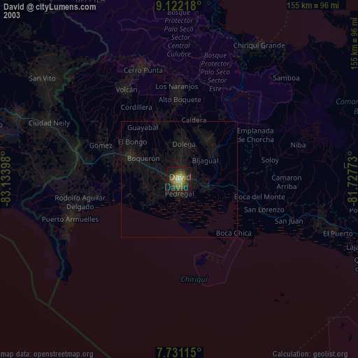
» NASA city lights 2003
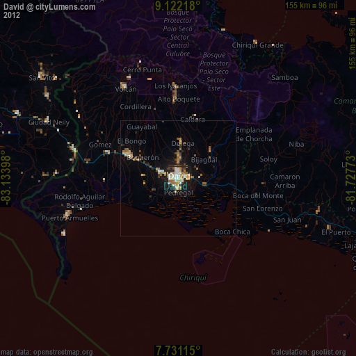
» Earth at Night: Flat Maps 2012, 2016