Villagarzón night lights from space
Night Light of Villagarzón (Putumayo) from space (Colombia) Src. Average luminocity for 10x10km area is 16.0758% and for 50x50km: 3.4782%.
Analysis of Villagarzón night lights 2016
Square area 10x10 km:
 0.65%
0.65%90-99
1.08%80-89
2.38%70-79
1.73%60-69
1.52%50-59
3.46%40-49
4.76%30-39
1.52%20-29
4.76%10-19
15.15%0-9
62.99%Square area 50x50 km:
0.1%90-99
0.32%80-89
0.29%70-79
0.42%60-69
0.45%50-59
0.34%40-49
0.51%30-39
1.51%20-29
1.77%10-19
2.05%0-9
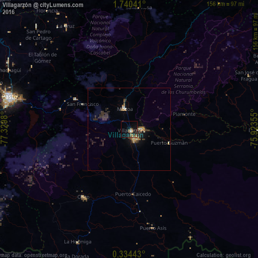
92.24%Clear (daylight) street map image can be seen on geolist.org.
Map coordinates:
1° 44' 25.5" North, 77° 19' 47.3" West
1° 2' 15" North, 76° 37' 36" West
0° 20' 3.9" North, 75° 55' 24.8" West
Some cities around Villagarzón sort by population:
• Pasto
75.3 km =46.8 mi,  285°
285°
• Puerto Asís
61 km =37.9 mi,  166°
166°
• Mocoa
13.1 km =8.1 mi,  347°
347°
• Orito
49.4 km =30.7 mi,  213°
213°
• Valle del Guamuez
72.7 km =45.2 mi, 206°
• Curillo
78.7 km =48.9 mi,  90°
90°
• Sibundoy
37.7 km =23.4 mi,  299°
299°
• La Cruz
73.6 km =45.7 mi,  328°
328°
3665992 (p: 7,015)
Sources (retrieved 2019-11-25):
» Earth at Night: Flat Maps 2012, 2016