Mocoa night lights from space
Night Light of Mocoa (Putumayo) from space (Colombia) Src. Average luminocity for 10x10km area is 12.0844% and for 50x50km: 3.4366%.
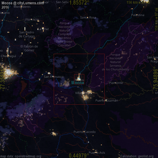
Analysis of Mocoa night lights 2016
Square area 10x10 km:
 1.3%
1.3%90-99
2.16%80-89
0.87%70-79
2.16%60-69
3.03%50-59
1.73%40-49
0.22%30-39
1.52%20-29
0.87%10-19
0%0-9
86.15%Square area 50x50 km:
0.1%90-99
0.29%80-89
0.29%70-79
0.39%60-69
0.45%50-59
0.34%40-49
0.51%30-39
1.56%20-29
1.82%10-19
2.04%0-9
92.22%Clear (daylight) street map image can be seen on geolist.org.
Map coordinates:
1° 51' 20.6" North, 77° 21' 18.8" West
1° 9' 10.2" North, 76° 39' 7.5" West
0° 26' 59.2" North, 75° 56' 56.3" West
Some cities around Mocoa sort by population:
• Pasto
70.3 km =43.7 mi,  275°
275°
• Puerto Asís
74.1 km =46 mi,  166°
166°
• La Unión
73.2 km =45.5 mi,  313°
313°
• Orito
59.3 km =36.8 mi,  204°
204°
• Sibundoy
30.6 km =19 mi, 280°
• La Cruz
61.3 km =38.1 mi,  324°
324°
• Villagarzón
13.1 km =8.1 mi, 167°
• San Pablo
70.4 km =43.7 mi,  325°
325°
3674654 (p: 22,035)
Sources (retrieved 2019-11-25):
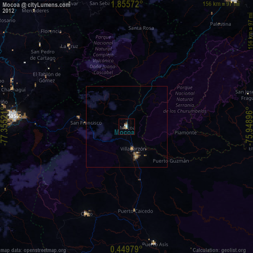
» Earth at Night: Flat Maps 2012, 2016