Puerto Asís night lights from space
Night Light of Puerto Asís (Putumayo) from space (Colombia) Src. Average luminocity for 10x10km area is 3.0303% and for 50x50km: 0.6848%.
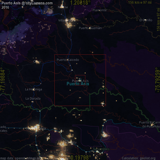
Analysis of Puerto Asís night lights 2016
Square area 10x10 km:
 0%
0%90-99
0%80-89
0%70-79
0.87%60-69
0.87%50-59
0.87%40-49
0.87%30-39
0.87%20-29
0.87%10-19
0%0-9
94.81%Square area 50x50 km:
0.02%90-99
0.07%80-89
0.07%70-79
0.07%60-69
0.1%50-59
0.14%40-49
0.29%30-39
0.29%20-29
0.07%10-19
0.17%0-9
98.7%Clear (daylight) street map image can be seen on geolist.org.
Map coordinates:
1° 12' 29.4" North, 77° 11' 55.8" West
0° 30' 18.5" North, 76° 29' 44.6" West
0° 11' 52.7" South, 75° 47' 33.3" West
Some cities around Puerto Asís sort by population:
• Nueva Loja, EC
64.4 km =40 mi,  223°
223°
• Mocoa
74.1 km =46 mi,  346°
346°
• Orito
45.7 km =28.4 mi,  293°
293°
• Valle del Guamuez
47.4 km =29.5 mi,  262°
262°
• Curillo
86.9 km =54 mi,  47°
47°
• Sibundoy
91 km =56.5 mi,  328°
328°
• La Dorada
49.6 km =30.8 mi,  248°
248°
• Villagarzón
61 km =37.9 mi, 346°
3671549 (p: 29,782)
Sources (retrieved 2019-11-25):
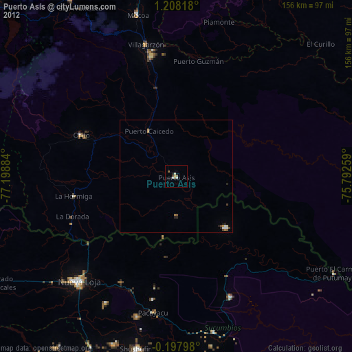
» Earth at Night: Flat Maps 2012, 2016