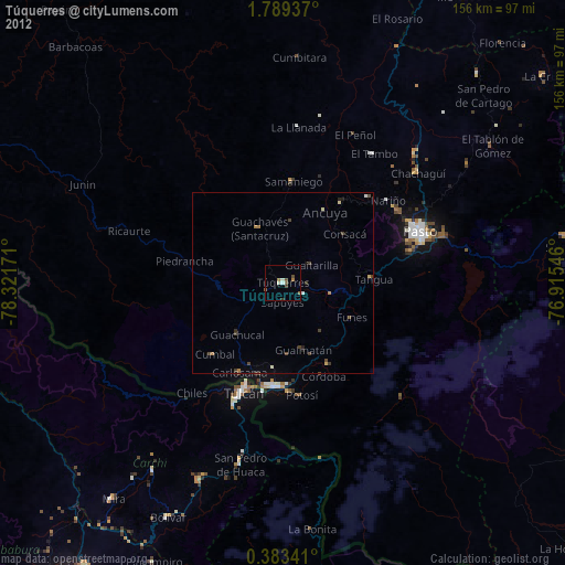
Túquerres night lights from space
Night Light of Túquerres (Nariño) from space (Colombia) Src. Average luminocity for 10x10km area is 11.3896% and for 50x50km: 2.1231%.
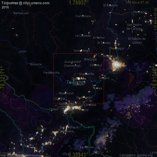
Analysis of Túquerres night lights 2016
Square area 10x10 km:
 0.65%
0.65%90-99
1.08%80-89
3.25%70-79
0.65%60-69
1.3%50-59
2.16%40-49
1.73%30-39
3.03%20-29
0.43%10-19
0.87%0-9
84.85%Square area 50x50 km:
0.03%90-99
0.32%80-89
0.22%70-79
0.32%60-69
0.25%50-59
0.37%40-49
0.33%30-39
0.81%20-29
0.23%10-19
0.48%0-9
96.63%Clear (daylight) street map image can be seen on geolist.org.
Map coordinates:
1° 47' 21.7" North, 78° 19' 18.2" West
1° 5' 11.3" North, 77° 37' 6.9" West
0° 23' 0.3" North, 76° 54' 55.7" West
Some cities around Túquerres sort by population:
• Ipiales
29.2 km =18.1 mi,  184°
184°
• Samaniego
28.1 km =17.5 mi,  5°
5°
• Sandoná
27.7 km =17.2 mi,  36°
36°
• Olaya Herrera
22.9 km =14.2 mi, 38°
• Cumbal
27.6 km =17.1 mi,  224°
224°
• Pupiales
24 km =14.9 mi,  185°
185°
• Guaitarilla
9.3 km =5.8 mi,  57°
57°
• Ancuya
22.9 km =14.2 mi,  30°
30°
3666582 (p: 20,184)
Sources (retrieved 2019-11-25):
» Earth at Night: Flat Maps 2012, 2016