Sandoná night lights from space
Night Light of Sandoná (Nariño) from space (Colombia) Src. Average luminocity for 10x10km area is 3.7771% and for 50x50km: 5.5054%.
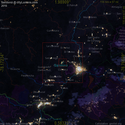
Analysis of Sandoná night lights 2016
Square area 10x10 km:
 0%
0%90-99
0%80-89
0.43%70-79
1.3%60-69
0%50-59
1.08%40-49
0.65%30-39
2.6%20-29
0%10-19
0%0-9
93.94%Square area 50x50 km:
0.57%90-99
1.12%80-89
0.61%70-79
0.67%60-69
0.75%50-59
0.61%40-49
0.88%30-39
1.24%20-29
1.12%10-19
2.75%0-9
89.67%Clear (daylight) street map image can be seen on geolist.org.
Map coordinates:
1° 59' 20.7" North, 78° 10' 20.4" West
1° 17' 10.5" North, 77° 28' 9.2" West
0° 34' 59.6" North, 76° 45' 57.9" West
Some cities around Sandoná sort by population:
• Pasto
22.4 km =13.9 mi,  111°
111°
• Túquerres
27.7 km =17.2 mi,  216°
216°
• Samaniego
15.2 km =9.4 mi,  292°
292°
• Olaya Herrera
4.9 km =3 mi,  209°
209°
• El Tambo
16 km =9.9 mi,  32°
32°
• Pupiales
49.9 km =31 mi,  202°
202°
• Guaitarilla
19.4 km =12.1 mi, 206°
• Ancuya
5.6 km =3.5 mi,  242°
242°
3669938 (p: 10,401)
Sources (retrieved 2019-11-25):
» Earth at Night: Flat Maps 2012, 2016