Santa Rosa del Sur night lights from space
Night Light of Santa Rosa del Sur (Bolívar) from space (Colombia) Src. Average luminocity for 10x10km area is 2.0537% and for 50x50km: 0.2073%.
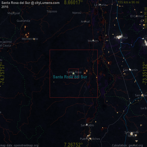
Analysis of Santa Rosa del Sur night lights 2016
Square area 10x10 km:
 0%
0%90-99
0%80-89
0%70-79
0.41%60-69
1.65%50-59
0.41%40-49
0.21%30-39
0.62%20-29
0%10-19
0%0-9
96.69%Square area 50x50 km:
0%90-99
0%80-89
0%70-79
0.02%60-69
0.18%50-59
0.08%40-49
0.01%30-39
0.06%20-29
0%10-19
0%0-9
99.66%Clear (daylight) street map image can be seen on geolist.org.
Map coordinates:
8° 39' 36.6" North, 74° 45' 27.3" West
7° 57' 52" North, 74° 3' 16" West
7° 16' 3.1" North, 73° 21' 4.8" West
Some cities around Santa Rosa del Sur sort by population:
• Aguachica
61.5 km =38.2 mi,  51°
51°
• Morales
40.1 km =24.9 mi,  30°
30°
• Puerto Wilches
70.7 km =43.9 mi,  165°
165°
• Gamarra
52.6 km =32.7 mi,  40°
40°
• San Martín
60 km =37.3 mi,  86°
86°
• Simití
12.2 km =7.6 mi, 93°
• Montecristo
59.1 km =36.7 mi,  308°
308°
• Arenal
56.4 km =35 mi,  12°
12°
3792379 (p: 8,904)
Sources (retrieved 2019-11-25):
» Earth at Night: Flat Maps 2012, 2016