San Marcos night lights from space
Night Light of San Marcos (Sucre) from space (Colombia) Src. Average luminocity for 10x10km area is 7.7541% and for 50x50km: 0.427%.
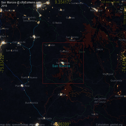
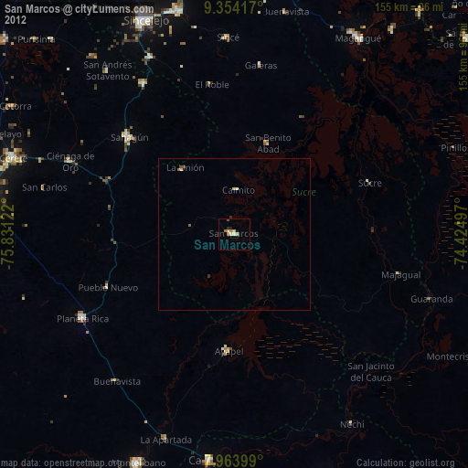
Analysis of San Marcos night lights 2016
Square area 10x10 km:
 0%
0%90-99
2.48%80-89
0%70-79
1.65%60-69
1.65%50-59
0%40-49
1.65%30-39
3.31%20-29
0%10-19
0%0-9
89.26%Square area 50x50 km:
0%90-99
0.1%80-89
0%70-79
0.13%60-69
0.1%50-59
0%40-49
0.07%30-39
0.2%20-29
0%10-19
0%0-9
99.39%Clear (daylight) street map image can be seen on geolist.org.
Map coordinates:
9° 21' 15" North, 75° 49' 52.4" West
8° 39' 35" North, 75° 7' 41.1" West
7° 57' 50.4" North, 74° 25' 29.9" West
Some cities around San Marcos sort by population:
• Sahagún
47 km =29.2 mi,  312°
312°
• Planeta Rica
57.3 km =35.6 mi,  241°
241°
• Sucre
47.8 km =29.7 mi,  69°
69°
• Ayapel
38.5 km =23.9 mi,  181°
181°
• San Benito Abad
31.9 km =19.8 mi,  20°
20°
• Majagual
56.4 km =35 mi,  103°
103°
• Galeras
56.4 km =35 mi,  8°
8°
• Pueblo Nuevo
50.2 km =31.2 mi,  158°
158°
3669346 (p: 36,549)
Sources (retrieved 2019-11-25):
» Earth at Night: Flat Maps 2012, 2016