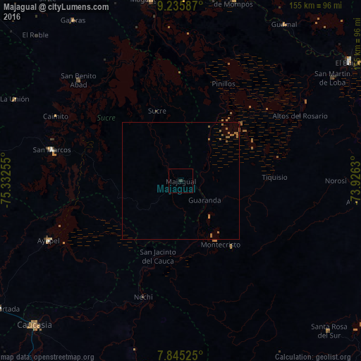
Majagual night lights from space
Night Light of Majagual (Sucre) from space (Colombia) Src. Average luminocity for 10x10km area is 0.5083% and for 50x50km: 0.6198%.
Analysis of Majagual night lights 2016
Square area 10x10 km:
 0%
0%90-99
0%80-89
0%70-79
0%60-69
0%50-59
0%40-49
0%30-39
0.83%20-29
0.83%10-19
0%0-9
98.35%Square area 50x50 km:
0%90-99
0%80-89
0%70-79
0.03%60-69
0.52%50-59
0.23%40-49
0%30-39
0.03%20-29
0.03%10-19
0%0-9
99.15%Clear (daylight) street map image can be seen on geolist.org.
Map coordinates:
9° 14' 9.1" North, 75° 19' 57.2" West
8° 32' 28.3" North, 74° 37' 45.9" West
7° 50' 42.9" North, 73° 55' 34.7" West
Some cities around Majagual sort by population:
• San Marcos
56.4 km =35 mi,  283°
283°
• Sucre
31.7 km =19.7 mi,  341°
341°
• Pueblo Nuevo
49.2 km =30.6 mi,  227°
227°
• Achí
8.5 km =5.3 mi,  68°
68°
• Nechí
52.2 km =32.4 mi,  197°
197°
• Pinillos
45.6 km =28.3 mi,  22°
22°
• Montecristo
32.1 km =19.9 mi,  147°
147°
• Altos del Rosario
58.1 km =36.1 mi,  61°
61°
3675637 (p: 11,139)
Sources (retrieved 2019-11-25):
» Earth at Night: Flat Maps 2012, 2016