Girón night lights from space
Night Light of Girón (Santander) from space (Colombia) Src. Average luminocity for 10x10km area is 49.4654% and for 50x50km: 10.257%.
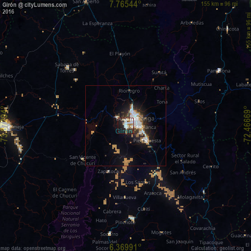
Analysis of Girón night lights 2016
Square area 10x10 km:
 13.2%
13.2%90-99
13.2%80-89
4.11%70-79
4.98%60-69
5.63%50-59
2.16%40-49
4.11%30-39
7.14%20-29
14.5%10-19
22.73%0-9
8.23%Square area 50x50 km:
1.95%90-99
1.84%80-89
0.42%70-79
2.12%60-69
1.16%50-59
1.31%40-49
0.36%30-39
1.46%20-29
2.78%10-19
6.26%0-9
80.34%Clear (daylight) street map image can be seen on geolist.org.
Map coordinates:
7° 45' 55.6" North, 73° 52' 22.6" West
7° 4' 5.5" North, 73° 10' 11.3" West
6° 22' 11.7" North, 72° 28' 0.1" West
Some cities around Girón sort by population:
• Bucaramanga
8.4 km =5.2 mi,  40°
40°
• Floridablanca
9.2 km =5.7 mi,  94°
94°
• Piedecuesta
16 km =9.9 mi,  123°
123°
• Sabana de Torres
50.8 km =31.6 mi,  314°
314°
• San Vicente de Chucurí
33.7 km =20.9 mi,  231°
231°
• Lebrija
7.3 km =4.5 mi, 313°
• Zapatoca
30.1 km =18.7 mi,  201°
201°
• El Playón
45 km =28 mi,  355°
355°
3682018 (p: 108,466)
Sources (retrieved 2019-11-25):
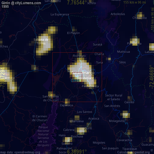
» NASA, Earths city lights 1995
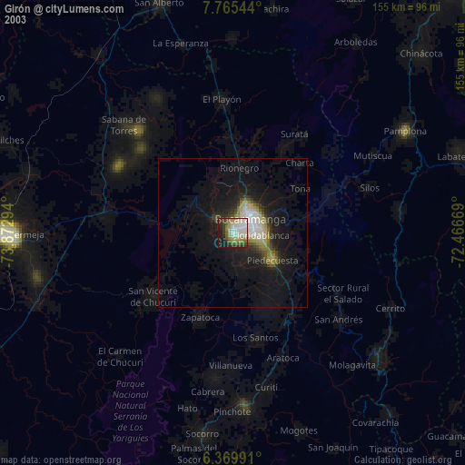
» NASA city lights 2003
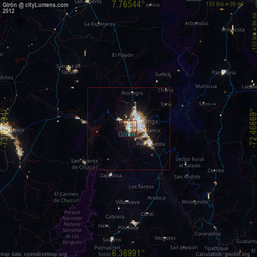
» Earth at Night: Flat Maps 2012, 2016