San Antonio night lights from space
Night Light of San Antonio (Tolima) from space (Colombia) Src. Average luminocity for 10x10km area is 0% and for 50x50km: 0.3629%.
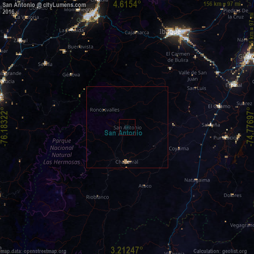
Analysis of San Antonio night lights 2016
Square area 10x10 km:
 0%
0%90-99
0%80-89
0%70-79
0%60-69
0%50-59
0%40-49
0%30-39
0%20-29
0%10-19
0%0-9
100%Square area 50x50 km:
0.03%90-99
0.01%80-89
0.03%70-79
0.07%60-69
0.13%50-59
0.18%40-49
0%30-39
0%20-29
0.05%10-19
0.02%0-9
99.49%Clear (daylight) street map image can be seen on geolist.org.
Map coordinates:
4° 36' 55.4" North, 76° 10' 59.6" West
3° 54' 51.2" North, 75° 28' 48.3" West
3° 12' 44.9" North, 74° 46' 37.1" West
Some cities around San Antonio sort by population:
• Anaime
53.8 km =33.4 mi,  4°
4°
• Chaparral
21.2 km =13.2 mi,  180°
180°
• Saldaña
51.6 km =32.1 mi,  88°
88°
• Rovira
44.9 km =27.9 mi,  36°
36°
• Ortega
28.8 km =17.9 mi, 85°
• Rioblanco
46.5 km =28.9 mi,  203°
203°
• Pijao
52.9 km =32.9 mi,  331°
331°
• Playarrica
17.7 km =11 mi,  26°
26°
3670162 (p: 5,185)
Sources (retrieved 2019-11-25):
» Earth at Night: Flat Maps 2012, 2016