Rovira night lights from space
Night Light of Rovira (Tolima) from space (Colombia) Src. Average luminocity for 10x10km area is 2.5801% and for 50x50km: 5.0061%.
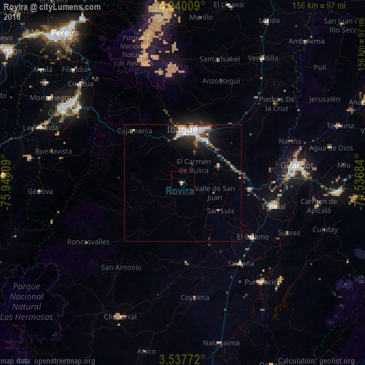
Analysis of Rovira night lights 2016
Square area 10x10 km:
 0.43%
0.43%90-99
0.43%80-89
0.87%70-79
0%60-69
0%50-59
0%40-49
1.52%30-39
0.22%20-29
0%10-19
0%0-9
96.54%Square area 50x50 km:
1.03%90-99
0.89%80-89
0.4%70-79
0.37%60-69
0.53%50-59
0.58%40-49
1.04%30-39
0.86%20-29
1.22%10-19
2.6%0-9
90.49%Clear (daylight) street map image can be seen on geolist.org.
Map coordinates:
4° 56' 24.3" North, 75° 56' 35.1" West
4° 14' 21.2" North, 75° 14' 23.9" West
3° 32' 15.8" North, 74° 32' 12.6" West
Some cities around Rovira sort by population:
• Ibagué
22.2 km =13.8 mi,  2°
2°
• Payandé
17.2 km =10.7 mi,  67°
67°
• Anaime
28.7 km =17.8 mi,  307°
307°
• Chicoral
28.7 km =17.8 mi,  95°
95°
• Coello
19.2 km =11.9 mi,  341°
341°
• Cajamarca
30.8 km =19.1 mi,  317°
317°
• Ortega
33.8 km =21 mi,  176°
176°
• Playarrica
27.7 km =17.2 mi,  222°
222°
3670587 (p: 6,949)
Sources (retrieved 2019-11-25):
» Earth at Night: Flat Maps 2012, 2016