Puerto Leguízamo night lights from space
Night Light of Puerto Leguízamo (Putumayo) from space (Colombia) Src. Average luminocity for 10x10km area is 2.3203% and for 50x50km: 0.1104%.
Analysis of Puerto Leguízamo night lights 2016
Square area 10x10 km:
 0%
0%90-99
0%80-89
0.87%70-79
0%60-69
0%50-59
0.87%40-49
1.73%30-39
0.87%20-29
0%10-19
0%0-9
95.67%Square area 50x50 km:
0%90-99
0%80-89
0.03%70-79
0%60-69
0%50-59
0.03%40-49
0.1%30-39
0.03%20-29
0%10-19
0%0-9
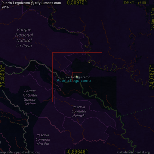
99.79%Clear (daylight) street map image can be seen on geolist.org.
Map coordinates:
0° 30' 35.1" North, 75° 29' 6.1" West
0° 11' 36.1" South, 74° 46' 54.8" West
0° 53' 47.3" South, 74° 4' 43.6" West
Some cities around Puerto Leguízamo sort by population:
• Florencia
220.9 km =137.3 mi,  335°
335°
• Nueva Loja, EC
237 km =147.3 mi,  277°
277°
• El Doncello
215.5 km =133.9 mi, 344°
• Curillo
186 km =115.6 mi,  317°
317°
• El Paujíl
205.3 km =127.6 mi, 342°
• Cartagena del Chairá
170.1 km =105.7 mi,  357°
357°
• La Dorada
244.2 km =151.7 mi, 284°
• Villagarzón
246.6 km =153.2 mi,  303°
303°
3671437 (p: 9,098)
Sources (retrieved 2019-11-25):
» Earth at Night: Flat Maps 2012, 2016