El Paujíl night lights from space
Night Light of El Paujíl (Caquetá) from space (Colombia) Src. Average luminocity for 10x10km area is 2.3939% and for 50x50km: 0.3853%.
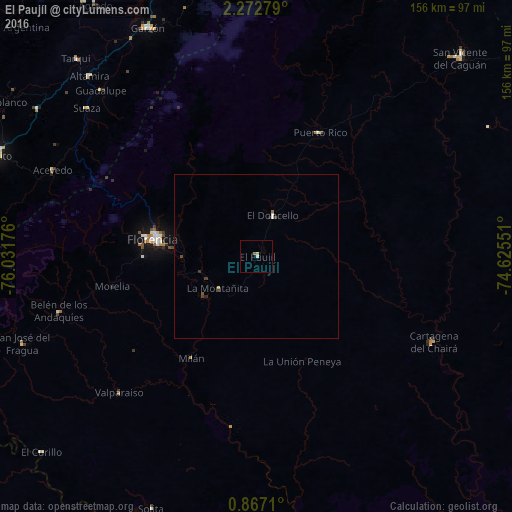
Analysis of El Paujíl night lights 2016
Square area 10x10 km:
 0.22%
0.22%90-99
0.65%80-89
0.87%70-79
0%60-69
0.87%50-59
0%40-49
0%30-39
0%20-29
0%10-19
0%0-9
97.4%Square area 50x50 km:
0.01%90-99
0.1%80-89
0.05%70-79
0.02%60-69
0.07%50-59
0.03%40-49
0.1%30-39
0.1%20-29
0.05%10-19
0.02%0-9
99.45%Clear (daylight) street map image can be seen on geolist.org.
Map coordinates:
2° 16' 22" North, 76° 1' 54.3" West
1° 34' 12.2" North, 75° 19' 43.1" West
0° 52' 1.6" North, 74° 37' 31.8" West
Some cities around El Paujíl sort by population:
• Florencia
31.2 km =19.4 mi,  279°
279°
• Pitalito
86.2 km =53.6 mi,  291°
291°
• Garzón
77.1 km =47.9 mi,  334°
334°
• El Doncello
13 km =8.1 mi,  22°
22°
• Puerto Rico
42.2 km =26.2 mi,  26°
26°
• Curillo
88.7 km =55.1 mi,  227°
227°
• Timaná
80.5 km =50 mi,  303°
303°
• Cartagena del Chairá
60 km =37.3 mi,  115°
115°
3683528 (p: 7,618)
Sources (retrieved 2019-11-25):
» Earth at Night: Flat Maps 2012, 2016