El Doncello night lights from space
Night Light of El Doncello (Caquetá) from space (Colombia) Src. Average luminocity for 10x10km area is 2.9827% and for 50x50km: 0.3378%.
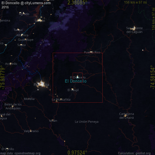
Analysis of El Doncello night lights 2016
Square area 10x10 km:
 0%
0%90-99
1.73%80-89
0%70-79
0%60-69
0.87%50-59
0%40-49
0.22%30-39
0.65%20-29
0.43%10-19
0.43%0-9
95.67%Square area 50x50 km:
0.01%90-99
0.1%80-89
0.05%70-79
0.02%60-69
0.07%50-59
0.03%40-49
0.07%30-39
0.1%20-29
0.05%10-19
0.02%0-9
99.48%Clear (daylight) street map image can be seen on geolist.org.
Map coordinates:
2° 22' 51.1" North, 75° 59' 16" West
1° 40' 41.4" North, 75° 17' 4.8" West
0° 58' 30.9" North, 74° 34' 53.5" West
Some cities around El Doncello sort by population:
• Florencia
36.4 km =22.6 mi,  258°
258°
• Pitalito
87.3 km =54.2 mi,  282°
282°
• Garzón
69.1 km =42.9 mi,  326°
326°
• Puerto Rico
29.3 km =18.2 mi,  28°
28°
• Gigante
84 km =52.2 mi,  339°
339°
• Timaná
78.9 km =49 mi,  294°
294°
• El Paujíl
13 km =8.1 mi,  202°
202°
• Cartagena del Chairá
62.2 km =38.6 mi,  127°
127°
3684276 (p: 13,082)
Sources (retrieved 2019-11-25):
» Earth at Night: Flat Maps 2012, 2016