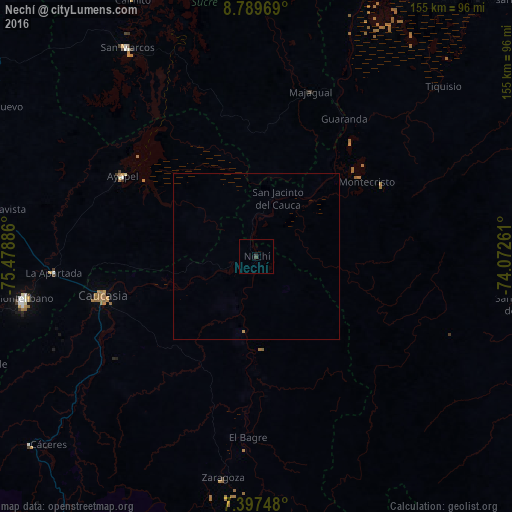
Nechí night lights from space
Night Light of Nechí (Antioquia) from space (Colombia) Src. Average luminocity for 10x10km area is 0.5702% and for 50x50km: 0.0483%.
Analysis of Nechí night lights 2016
Square area 10x10 km:
 0%
0%90-99
0%80-89
0%70-79
0%60-69
0%50-59
0%40-49
0.21%30-39
0.62%20-29
0.83%10-19
0%0-9
98.35%Square area 50x50 km:
0%90-99
0%80-89
0%70-79
0.03%60-69
0%50-59
0%40-49
0.01%30-39
0.03%20-29
0.03%10-19
0%0-9
99.9%Clear (daylight) street map image can be seen on geolist.org.
Map coordinates:
8° 47' 22.9" North, 75° 28' 43.9" West
8° 5' 39.1" North, 74° 46' 32.6" West
7° 23' 50.9" North, 74° 4' 21.4" West
Some cities around Nechí sort by population:
• Caucasia
47.5 km =29.5 mi,  255°
255°
• El Bagre
54.7 km =34 mi,  183°
183°
• San Carlos
33.6 km =20.9 mi, 179°
• Ayapel
46.9 km =29.1 mi,  301°
301°
• Majagual
52.2 km =32.4 mi,  17°
17°
• Pueblo Nuevo
25.9 km =16.1 mi,  309°
309°
• Achí
58.1 km =36.1 mi, 24°
• Montecristo
40.2 km =25 mi,  55°
55°
3673976 (p: 6,693)
Sources (retrieved 2019-11-25):
» Earth at Night: Flat Maps 2012, 2016