Caucasia night lights from space
Night Light of Caucasia (Antioquia) from space (Colombia) Src. Average luminocity for 10x10km area is 13.7624% and for 50x50km: 1.3141%.
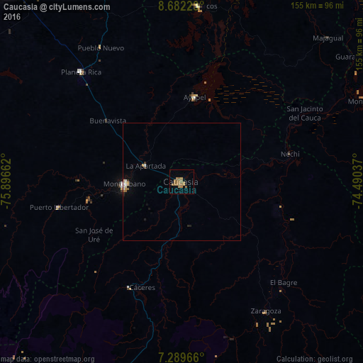

Analysis of Caucasia night lights 2016
Square area 10x10 km:
 0%
0%90-99
0%80-89
0%70-79
2.69%60-69
11.98%50-59
2.69%40-49
0%30-39
0%20-29
0%10-19
0%0-9
82.64%Square area 50x50 km:
0.11%90-99
0.18%80-89
0.06%70-79
0.17%60-69
0.64%50-59
0.13%40-49
0.03%30-39
0.07%20-29
0.13%10-19
0.27%0-9
98.22%Clear (daylight) street map image can be seen on geolist.org.
Map coordinates:
8° 40' 56" North, 75° 53' 47.8" West
7° 59' 11.5" North, 75° 11' 36.6" West
7° 17' 22.8" North, 74° 29' 25.3" West
Some cities around Caucasia sort by population:
• Montelíbano
25 km =15.5 mi,  268°
268°
• El Bagre
60 km =37.3 mi,  135°
135°
• Planeta Rica
64 km =39.8 mi,  317°
317°
• San Carlos
51.1 km =31.8 mi,  115°
115°
• Ayapel
36.9 km =22.9 mi,  9°
9°
• Zaragoza
65.8 km =40.9 mi,  147°
147°
• Pueblo Nuevo
38.4 km =23.9 mi,  42°
42°
• Nechí
47.5 km =29.5 mi,  75°
75°
3687025 (p: 58,034)
Sources (retrieved 2019-11-25):
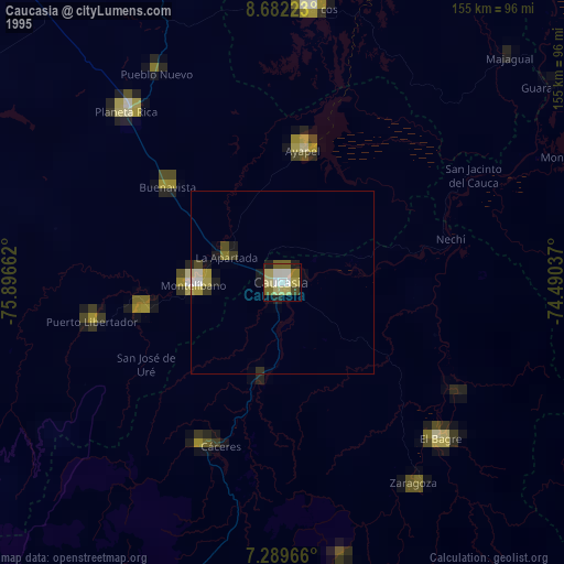
» NASA, Earths city lights 1995
» NASA city lights 2003
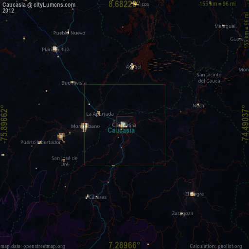
» Earth at Night: Flat Maps 2012, 2016