Manzanares night lights from space
Night Light of Manzanares (Caldas) from space (Colombia) Src. Average luminocity for 10x10km area is 1.688% and for 50x50km: 1.5698%.
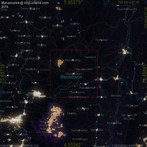
Analysis of Manzanares night lights 2016
Square area 10x10 km:
 0%
0%90-99
0%80-89
0.83%70-79
0.62%60-69
0.21%50-59
0%40-49
0.83%30-39
0%20-29
0%10-19
0%0-9
97.52%Square area 50x50 km:
0.03%90-99
0.06%80-89
0.09%70-79
0.42%60-69
0.75%50-59
0.15%40-49
0.17%30-39
0.13%20-29
0.21%10-19
0.52%0-9
97.48%Clear (daylight) street map image can be seen on geolist.org.
Map coordinates:
5° 57' 13.4" North, 75° 51' 25.8" West
5° 15' 14.3" North, 75° 9' 14.5" West
4° 33' 12.3" North, 74° 27' 3.3" West
Some cities around Manzanares sort by population:
• Líbano
38.3 km =23.8 mi,  164°
164°
• San Sebastián de Mariquita
29.6 km =18.4 mi,  101°
101°
• Padua
13.4 km =8.3 mi,  173°
173°
• Fresno
17.2 km =10.7 mi,  130°
130°
• Aranzazu
37.3 km =23.2 mi,  272°
272°
• Pensilvania
14.4 km =8.9 mi,  356°
356°
• Marquetalia
11.9 km =7.4 mi,  66°
66°
• Falan
26.7 km =16.6 mi,  122°
122°
3675409 (p: 16,278)
Sources (retrieved 2019-11-25):
» Earth at Night: Flat Maps 2012, 2016