Aranzazu night lights from space
Night Light of Aranzazu (Caldas) from space (Colombia) Src. Average luminocity for 10x10km area is 1.2748% and for 50x50km: 3.6509%.
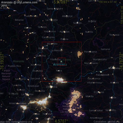
Analysis of Aranzazu night lights 2016
Square area 10x10 km:
 0%
0%90-99
0%80-89
0.83%70-79
0%60-69
0.83%50-59
0%40-49
0%30-39
0%20-29
0%10-19
0%0-9
98.35%Square area 50x50 km:
0.64%90-99
0.6%80-89
0.21%70-79
0.47%60-69
0.93%50-59
0.29%40-49
0.21%30-39
0.51%20-29
0.59%10-19
2.23%0-9
93.31%Clear (daylight) street map image can be seen on geolist.org.
Map coordinates:
5° 58' 15.5" North, 76° 11' 36.9" West
5° 16' 16.4" North, 75° 29' 25.6" West
4° 34' 14.5" North, 74° 47' 14.4" West
Some cities around Aranzazu sort by population:
• Manizales
22.7 km =14.1 mi,  187°
187°
• Villamaría
25.2 km =15.7 mi, 186°
• Salamina
15.1 km =9.4 mi,  1°
1°
• Supía
26.9 km =16.7 mi,  318°
318°
• Neira
12.1 km =7.5 mi,  195°
195°
• Quinchía
27.6 km =17.1 mi,  285°
285°
• Pácora
28.7 km =17.8 mi,  6°
6°
• Filadelfia
8.3 km =5.2 mi, 289°
3689740 (p: 9,327)
Sources (retrieved 2019-11-25):
» Earth at Night: Flat Maps 2012, 2016