San Sebastián de Mariquita night lights from space
Night Light of San Sebastián de Mariquita (Tolima) from space (Colombia) Src. Average luminocity for 10x10km area is 9.2397% and for 50x50km: 1.3988%.
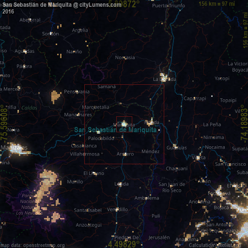
Analysis of San Sebastián de Mariquita night lights 2016
Square area 10x10 km:
 1.45%
1.45%90-99
1.03%80-89
2.89%70-79
0.41%60-69
0%50-59
1.65%40-49
0%30-39
2.48%20-29
1.24%10-19
0.41%0-9
88.43%Square area 50x50 km:
0.15%90-99
0.19%80-89
0.26%70-79
0.15%60-69
0.13%50-59
0.21%40-49
0.11%30-39
0.33%20-29
0.29%10-19
0.12%0-9
98.05%Clear (daylight) street map image can be seen on geolist.org.
Map coordinates:
5° 53' 55.4" North, 75° 35' 45.9" West
5° 11' 56" North, 74° 53' 34.6" West
4° 29' 53.8" North, 74° 11' 23.4" West
Some cities around San Sebastián de Mariquita sort by population:
• Honda
17.4 km =10.8 mi,  86°
86°
• Padua
28.3 km =17.6 mi,  255°
255°
• Fresno
16.7 km =10.4 mi,  252°
252°
• Manzanares
29.6 km =18.4 mi,  281°
281°
• Armero-Guyabal
25.8 km =16 mi,  182°
182°
• Marquetalia
21 km =13 mi,  301°
301°
• Guayabal
18.7 km =11.6 mi, 177°
• Falan
10.6 km =6.6 mi,  217°
217°
3675252 (p: 23,104)
Sources (retrieved 2019-11-25):
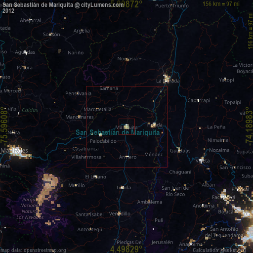
» Earth at Night: Flat Maps 2012, 2016