Fusagasugá night lights from space
Night Light of Fusagasugá (Cundinamarca) from space (Colombia) Src. Average luminocity for 10x10km area is 33.0714% and for 50x50km: 6.7265%.
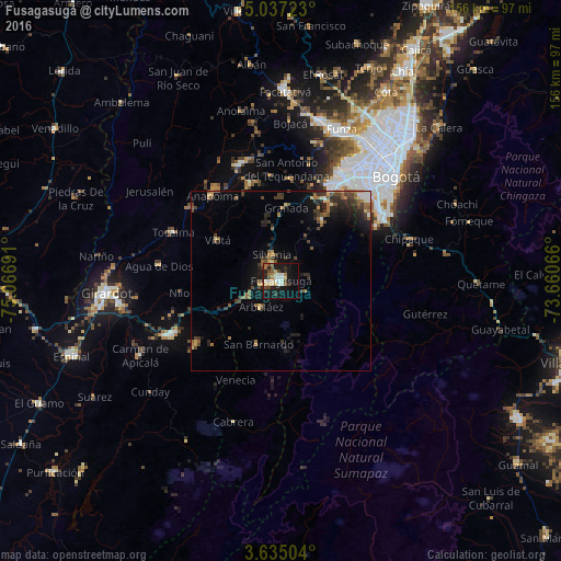
Analysis of Fusagasugá night lights 2016
Square area 10x10 km:
 3.9%
3.9%90-99
7.36%80-89
4.33%70-79
2.81%60-69
5.41%50-59
3.46%40-49
5.41%30-39
3.68%20-29
6.28%10-19
35.06%0-9
22.29%Square area 50x50 km:
0.42%90-99
0.55%80-89
0.65%70-79
0.67%60-69
1.12%50-59
1.41%40-49
1.29%30-39
1.72%20-29
1.97%10-19
4.83%0-9
85.35%Clear (daylight) street map image can be seen on geolist.org.
Map coordinates:
5° 2' 14" North, 75° 4' 0.9" West
4° 20' 11.3" North, 74° 21' 49.6" West
3° 38' 6.1" North, 73° 39' 38.4" West
Some cities around Fusagasugá sort by population:
• Soacha
31.5 km =19.6 mi,  31°
31°
• Melgar
34 km =21.1 mi,  244°
244°
• Sibaté
20.8 km =12.9 mi, 33°
• Agua de Dios
34.2 km =21.3 mi,  277°
277°
• Tocaima
32.9 km =20.4 mi,  294°
294°
• Silvania
7.9 km =4.9 mi,  341°
341°
• Viotá
20.8 km =12.9 mi,  302°
302°
• Arbeláez
9.1 km =5.7 mi,  218°
218°
3682274 (p: 88,820)
Sources (retrieved 2019-11-25):
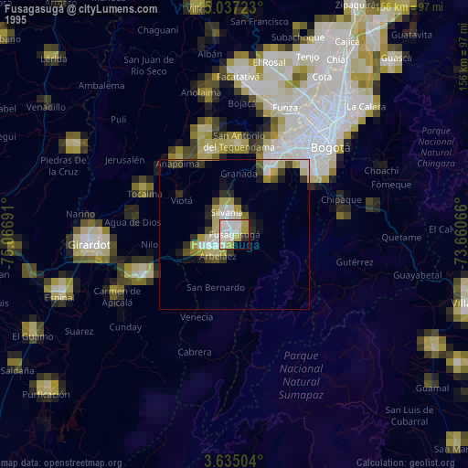
» NASA, Earths city lights 1995
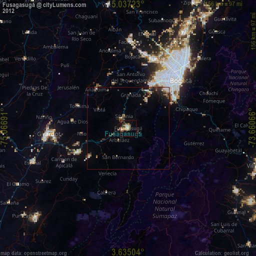
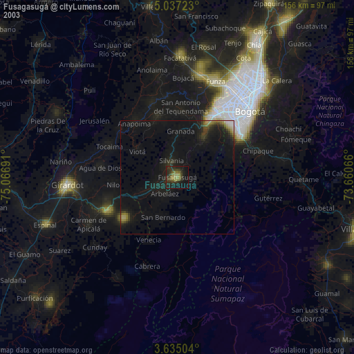
» NASA city lights 2003
» Earth at Night: Flat Maps 2012, 2016