Agustín Codazzi night lights from space
Night Light of Agustín Codazzi (Cesar) from space (Colombia) Src. Average luminocity for 10x10km area is 11.7913% and for 50x50km: 2.3288%.
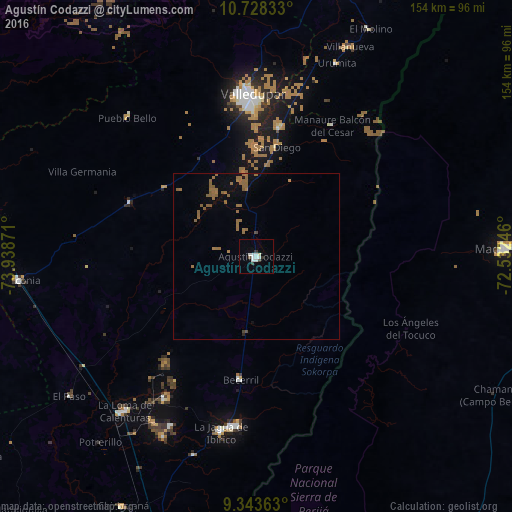
Analysis of Agustín Codazzi night lights 2016
Square area 10x10 km:
 3.51%
3.51%90-99
3.1%80-89
0.83%70-79
0%60-69
0%50-59
0%40-49
0.83%30-39
3.31%20-29
0%10-19
0.62%0-9
87.81%Square area 50x50 km:
0.14%90-99
0.13%80-89
0.03%70-79
0.02%60-69
1.06%50-59
1.14%40-49
0.14%30-39
0.13%20-29
0.03%10-19
0.25%0-9
96.92%Clear (daylight) street map image can be seen on geolist.org.
Map coordinates:
10° 43' 42" North, 73° 56' 19.4" West
10° 2' 12.2" North, 73° 14' 8.1" West
9° 20' 37.1" North, 72° 31' 56.9" West
Some cities around Agustín Codazzi sort by population:
• Valledupar
47.5 km =29.5 mi,  357°
357°
• Villanueva
69.4 km =43.1 mi,  23°
23°
• La Jagua de Ibirico
53.8 km =33.4 mi,  191°
191°
• La Paz
39.3 km =24.4 mi,  9°
9°
• Becerril
37.3 km =23.2 mi, 187°
• Urumita
63 km =39.1 mi, 22°
• San Diego
33.8 km =21 mi, 9°
• Manaure Balcón del Cesar
45.4 km =28.2 mi,  29°
29°
3792383 (p: 51,478)
Sources (retrieved 2019-11-25):
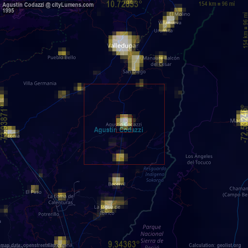
» NASA, Earths city lights 1995
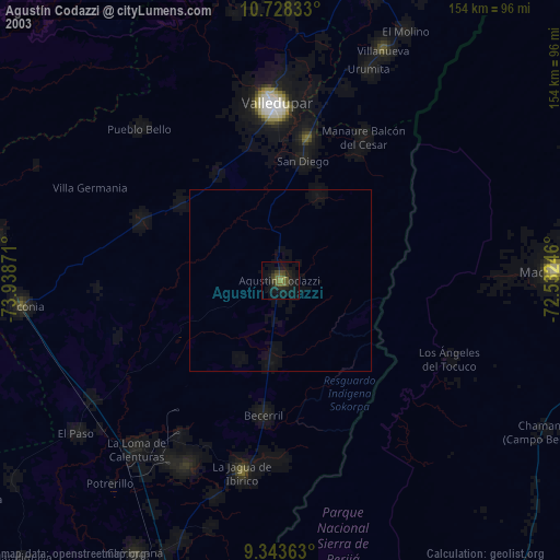
» NASA city lights 2003
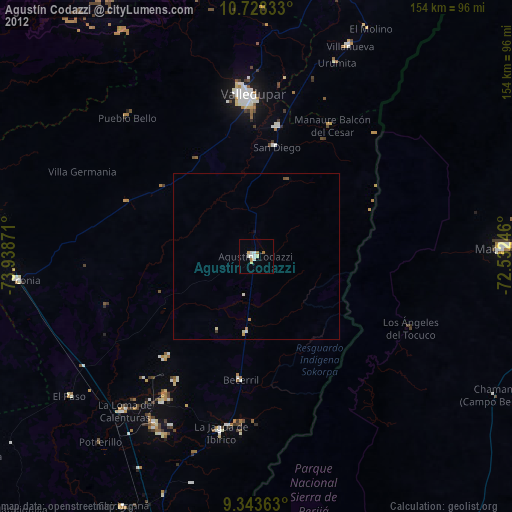
» Earth at Night: Flat Maps 2012, 2016