El Bagre night lights from space
Night Light of El Bagre (Antioquia) from space (Colombia) Src. Average luminocity for 10x10km area is 0.632% and for 50x50km: 0.3555%.
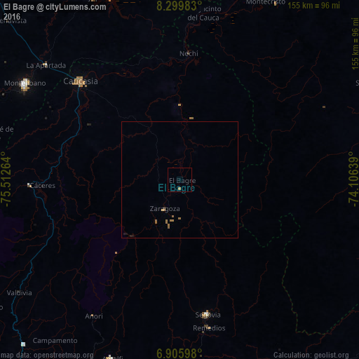
Analysis of El Bagre night lights 2016
Square area 10x10 km:
 0%
0%90-99
0%80-89
0%70-79
0%60-69
0.87%50-59
0%40-49
0%30-39
0%20-29
0%10-19
0%0-9
99.13%Square area 50x50 km:
0%90-99
0%80-89
0%70-79
0%60-69
0.32%50-59
0.12%40-49
0%30-39
0.03%20-29
0.03%10-19
0.1%0-9
99.4%Clear (daylight) street map image can be seen on geolist.org.
Map coordinates:
8° 17' 59.4" North, 75° 30' 45.5" West
7° 36' 12.5" North, 74° 48' 34.2" West
6° 54' 21.5" North, 74° 6' 23" West
Some cities around El Bagre sort by population:
• Montelíbano
79.2 km =49.2 mi,  301°
301°
• Caucasia
60 km =37.3 mi,  315°
315°
• Segovia
59.5 km =37 mi,  168°
168°
• San Carlos
21.3 km =13.2 mi,  10°
10°
• Zaragoza
14.3 km =8.9 mi,  207°
207°
• Pueblo Nuevo
72.8 km =45.2 mi,  346°
346°
• Nechí
54.7 km =34 mi,  3°
3°
• Remedios
65.2 km =40.5 mi, 168°
3684945 (p: 40,798)
Sources (retrieved 2019-11-25):
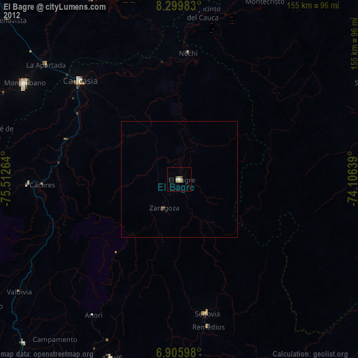
» Earth at Night: Flat Maps 2012, 2016