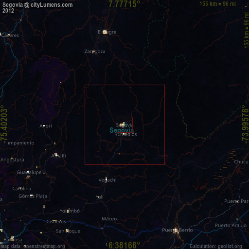
Segovia night lights from space
Night Light of Segovia (Antioquia) from space (Colombia) Src. Average luminocity for 10x10km area is 8.0087% and for 50x50km: 0.4369%.
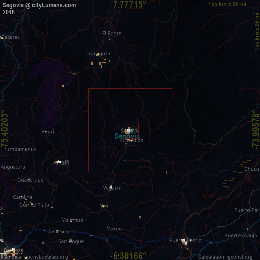
Analysis of Segovia night lights 2016
Square area 10x10 km:
 0.43%
0.43%90-99
2.16%80-89
0.87%70-79
0%60-69
0.87%50-59
1.52%40-49
2.6%30-39
1.95%20-29
0%10-19
0%0-9
89.61%Square area 50x50 km:
0.02%90-99
0.09%80-89
0.03%70-79
0.02%60-69
0.05%50-59
0.06%40-49
0.19%30-39
0.18%20-29
0%10-19
0%0-9
99.36%Clear (daylight) street map image can be seen on geolist.org.
Map coordinates:
7° 46' 37.7" North, 75° 24' 7.3" West
7° 4' 47.7" North, 74° 41' 56" West
6° 22' 54" North, 73° 59' 44.8" West
Some cities around Segovia sort by population:
• El Bagre
59.5 km =37 mi,  348°
348°
• Puerto Berrío
73.1 km =45.4 mi,  153°
153°
• Zaragoza
49.3 km =30.6 mi,  337°
337°
• Amalfi
45.9 km =28.5 mi,  245°
245°
• Vegachí
37 km =23 mi,  196°
196°
• Cisneros
74 km =46 mi,  215°
215°
• Remedios
5.8 km =3.6 mi,  174°
174°
• Yolombó
63.7 km =39.6 mi,  212°
212°
3668175 (p: 39,938)
Sources (retrieved 2019-11-25):
» Earth at Night: Flat Maps 2012, 2016