Buenaventura night lights from space
Night Light of Buenaventura (Valle del Cauca) from space (Colombia) Src. Average luminocity for 10x10km area is 0.0043% and for 50x50km: 0.3014%.
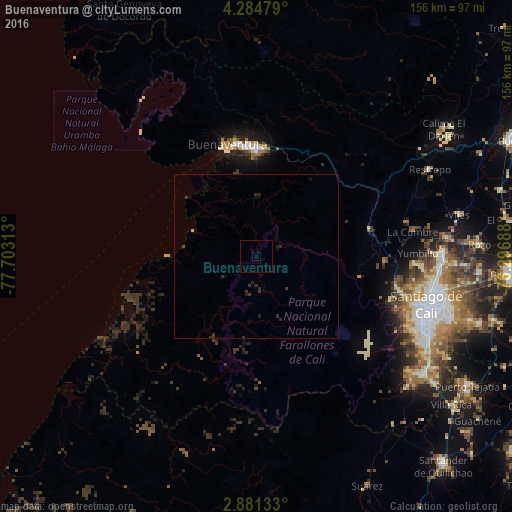
Analysis of Buenaventura night lights 2016
Square area 10x10 km:
 0%
0%90-99
0%80-89
0%70-79
0%60-69
0%50-59
0%40-49
0%30-39
0%20-29
0%10-19
0%0-9
100%Square area 50x50 km:
0%90-99
0%80-89
0.03%70-79
0%60-69
0%50-59
0%40-49
0.02%30-39
0.35%20-29
0.35%10-19
0.15%0-9
99.1%Clear (daylight) street map image can be seen on geolist.org.
Map coordinates:
4° 17' 5.2" North, 77° 42' 11.3" West
3° 34' 60" North, 77° 0' 0" West
2° 52' 52.8" North, 76° 17' 48.8" West
Some cities around Buenaventura sort by population:
• Cali
55.4 km =34.4 mi,  107°
107°
• Yumbo
56.4 km =35 mi,  90°
90°
• Jamundí
62.9 km =39.1 mi,  124°
124°
• Candelaria
75 km =46.6 mi, 105°
• Darien
69 km =42.9 mi,  55°
55°
• Dagua
35.5 km =22.1 mi,  76°
76°
• Restrepo
59.3 km =36.8 mi, 63°
• Yotoco
75 km =46.6 mi,  65°
65°
3688452 (p: 24,842)
Sources (retrieved 2019-11-25):
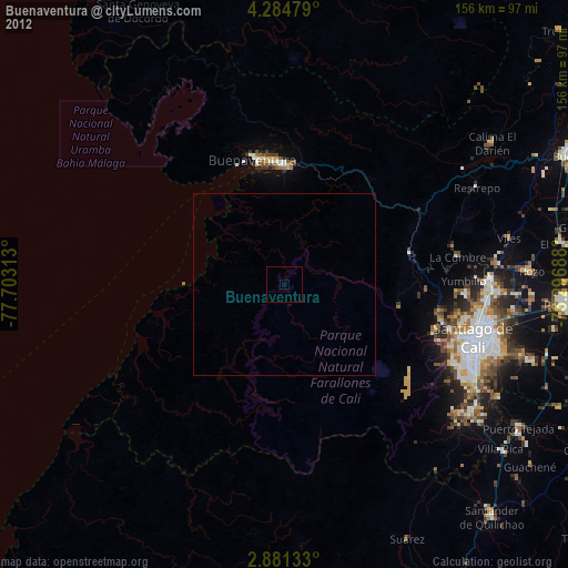
» Earth at Night: Flat Maps 2012, 2016