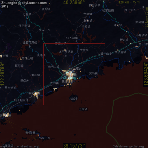
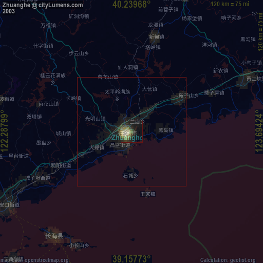
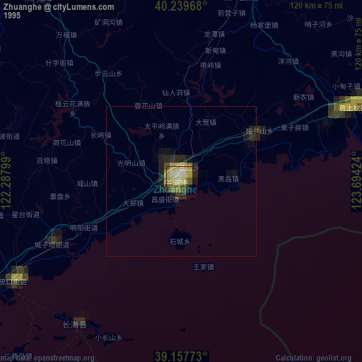
Zhuanghe night lights from space
Night Light of Zhuanghe (Liaoning) from space (China) Src. Average luminocity for 10x10km area is 32.3977% and for 50x50km: 2.8298%.

Analysis of Zhuanghe night lights 2016
Square area 10x10 km:
 6.33%
6.33%90-99
6.17%80-89
4.22%70-79
2.44%60-69
5.52%50-59
4.06%40-49
2.6%30-39
6.33%20-29
7.31%10-19
20.29%0-9
34.74%Square area 50x50 km:
0.28%90-99
0.26%80-89
0.52%70-79
0.52%60-69
0.34%50-59
0.22%40-49
0.29%30-39
0.62%20-29
0.45%10-19
2.19%0-9
94.31%Clear (daylight) street map image can be seen on geolist.org.
Map coordinates:
40° 14' 22.8" North, 122° 17' 16.8" East
39° 42' 3" North, 122° 59' 28" East
39° 9' 27.8" North, 123° 41' 39.3" East
Some cities around Zhuanghe sort by population:
• Yingkou
125.2 km =77.8 mi,  328°
328°
• Sinŭiju, KP
128 km =79.5 mi,  69°
69°
• Wafangdian
84.6 km =52.6 mi,  263°
263°
• Fengcheng
124.3 km =77.2 mi,  47°
47°
• Pulandian
94.2 km =58.5 mi,  248°
248°
• Dashiqiao
112.1 km =69.7 mi,  338°
338°
• Xiuyan
70.1 km =43.6 mi,  20°
20°
• Langtoucun
120.8 km =75.1 mi, 71°
1784055 (p: 80,384)
Sources (retrieved 2019-11-25):
» NASA, Earths city lights 1995
» NASA city lights 2003
» Earth at Night: Flat Maps 2012, 2016