Pulandian night lights from space
Night Light of Pulandian (Liaoning) from space (China) Src. Average luminocity for 10x10km area is 40.0493% and for 50x50km: 6.6796%.
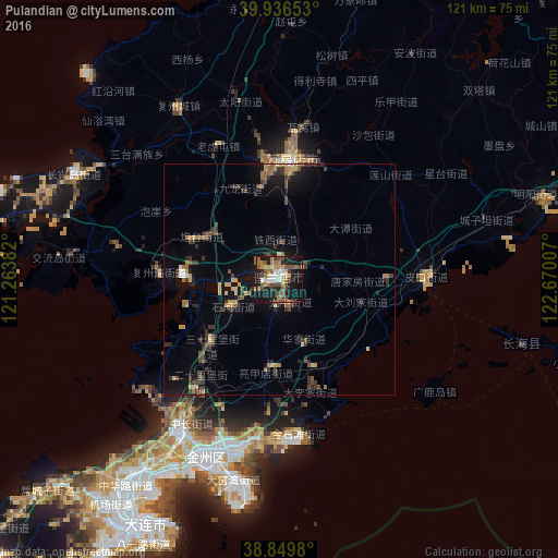
Analysis of Pulandian night lights 2016
Square area 10x10 km:
 4.08%
4.08%90-99
5.95%80-89
2.72%70-79
5.78%60-69
9.35%50-59
8.5%40-49
7.48%30-39
5.78%20-29
8.16%10-19
34.18%0-9
7.99%Square area 50x50 km:
0.25%90-99
0.37%80-89
0.9%70-79
0.85%60-69
0.98%50-59
1.03%40-49
1.12%30-39
2.1%20-29
1.44%10-19
5.64%0-9
85.31%Clear (daylight) street map image can be seen on geolist.org.
Map coordinates:
39° 56' 11.5" North, 121° 15' 49.8" East
39° 23' 43" North, 121° 58' 1" East
38° 50' 59.3" North, 122° 40' 12.3" East
Some cities around Pulandian sort by population:
• Dalian
62.2 km =38.6 mi,  210°
210°
• Yingkou
142.9 km =88.8 mi,  8°
8°
• Wafangdian
25.1 km =15.6 mi, 8°
• Jinzhou
39.3 km =24.4 mi, 213°
• Lüshun
89.6 km =55.7 mi,  222°
222°
• Zhuanghe
94.2 km =58.5 mi,  68°
68°
• Dashiqiao
145.4 km =90.3 mi,  18°
18°
• Dalianwan
47 km =29.2 mi, 209°
1798490 (p: 104,277)
Sources (retrieved 2019-11-25):
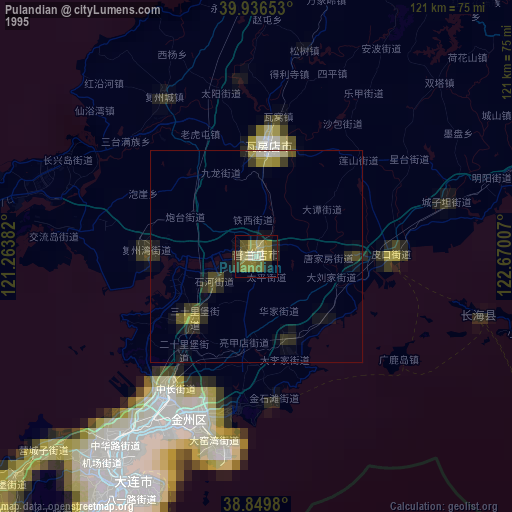
» NASA, Earths city lights 1995
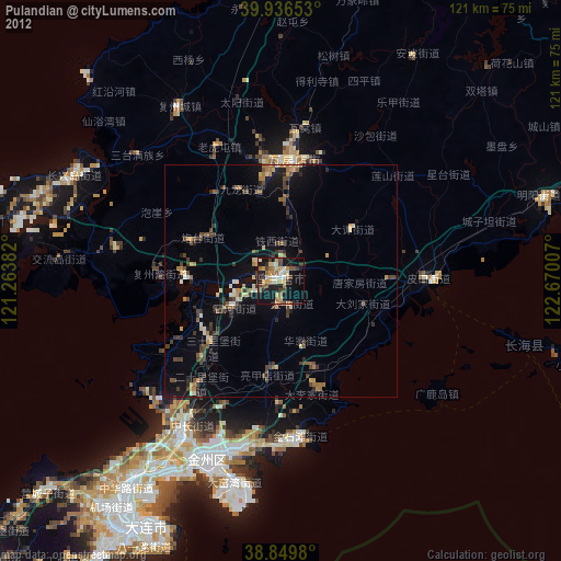
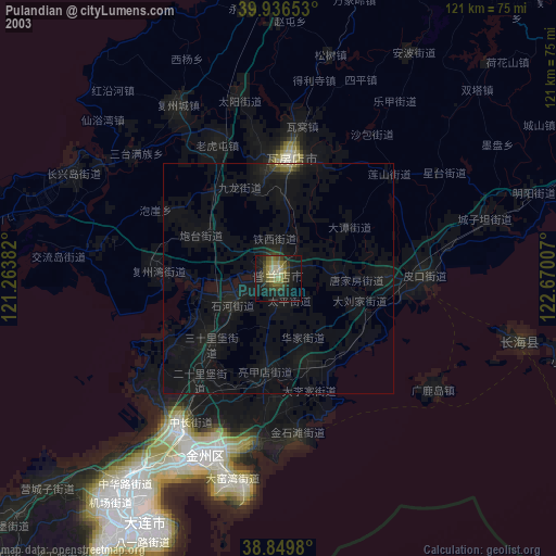
» NASA city lights 2003
» Earth at Night: Flat Maps 2012, 2016