Zhoukou night lights from space
Night Light of Zhoukou (Henan) from space (China) Src. Average luminocity for 10x10km area is 63.9048% and for 50x50km: 9.2311%.
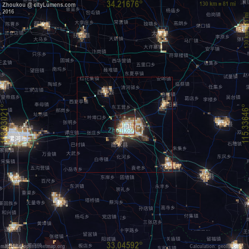
Analysis of Zhoukou night lights 2016
Square area 10x10 km:
 17.22%
90-99
19.05%80-89
6.59%70-79
8.79%60-69
6.96%50-59
2.75%40-49
6.96%30-39
7.33%20-29
13%10-19
10.26%0-9
1.1%Square area 50x50 km:
0.91%90-99
1.57%80-89
0.93%70-79
1.45%60-69
1.34%50-59
1.34%40-49
1.52%30-39
1.73%20-29
2.25%10-19
5.18%0-9
81.78%Clear (daylight) street map image can be seen on geolist.org.
Map coordinates:
34° 13' 0.3" North, 113° 55' 48.8" East
33° 37' 60" North, 114° 37' 60" East
33° 2' 45.3" North, 115° 20' 11.3" East
Some cities around Zhoukou sort by population:
• Xuchang
83.8 km =52.1 mi,  301°
301°
• Luohe
55.2 km =34.3 mi,  261°
261°
• Jieshou
79.1 km =49.2 mi,  121°
121°
• Huaidian
43.2 km =26.8 mi, 120°
• Jishui
71.8 km =44.6 mi,  81°
81°
• Wacheng
19.9 km =12.4 mi,  327°
327°
• Xincheng
50.9 km =31.6 mi,  90°
90°
• Runing
74.9 km =46.5 mi,  200°
200°
1784130 (p: 377,061)
Sources (retrieved 2019-11-25):
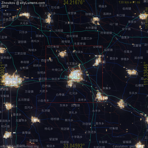
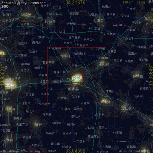
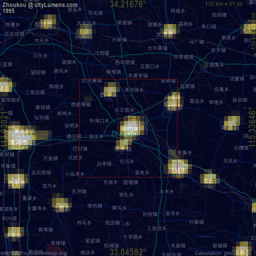
» NASA, Earths city lights 1995
» NASA city lights 2003
» Earth at Night: Flat Maps 2012, 2016